


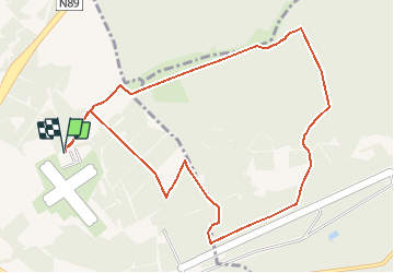

13.9 km | 17.6 km-effort


User


FREE GPS app for hiking
 SityTrail
IGN / Geographical institutes
SityTrail World
The world is yours!
Trail Walking of 10 km to be discovered at Wallonia, Luxembourg, Saint-Hubert. This trail is proposed by GerardBouche.
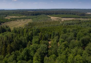
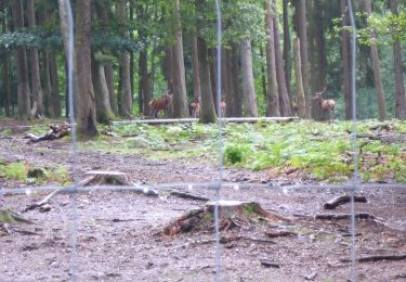
Un parcours forestier par la Fagne de la Borne, de la Hutte, des cerfs et passage à proximité de la base aérienne qui n'est aujourd'hui plus utilisée par Composante Air de l'armée.

Walking

Walking

Walking

Walking

Walking

Walking
Walking
Walking
Walking