


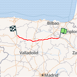
Compostelle 2017 - Logroño -> León

uru2010
User

Length
318 km

Max alt
1157 m

Uphill gradient
3775 m
Km-Effort
367 km

Min alt
391 m

Downhill gradient
3337 m
Boucle
No
Creation date :
2018-06-26 16:22:51.643
Updated on :
2018-06-26 16:22:51.643
79h45
Difficulty : Easy

FREE GPS app for hiking
 SityTrail
IGN / Geographical institutes
SityTrail Plus
The world is yours!
About
Trail Walking of 318 km to be discovered at Rioja, Unknown, Logroño. This trail is proposed by uru2010.
Description
Chemin de Saint-Jacques de Compostelle en 2017 :
Logroño -> León
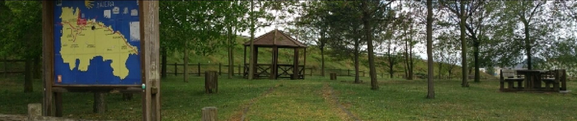
Photos


Positioning
Country:
Spain
Region :
Rioja
Department/Province :
Unknown
Municipality :
Logroño
Location:
Unknown
Start:(Dec)
Start:(UTM)
545067 ; 4701551 (30T) N.
Comments