


tyh

karawatsj
User
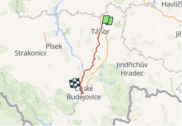

Length
70 km

Max alt
532 m

Uphill gradient
886 m
Km-Effort
82 km

Min alt
371 m

Downhill gradient
942 m
Boucle
No
Creation date :
2018-06-26 16:24:13.171
Updated on :
2018-06-26 16:24:13.171
5h06
Difficulty : Unknown

FREE GPS app for hiking
 SityTrail
IGN / Geographical institutes
SityTrail World
The world is yours!
About
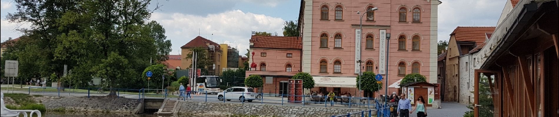
Trail Other activity of 70 km to be discovered at Southwest, Jihočeský kraj, Tábor. This trail is proposed by karawatsj.
Photos


Positioning
Country:
Czech Republic
Region :
Southwest
Department/Province :
Jihočeský kraj
Municipality :
Tábor
Location:
Unknown
Start:(Dec)
Start:(UTM)
475058 ; 5473395 (33U) N.
Comments
Trails nearby