


FORÊT DE GIVONNES

PascalBanide
User
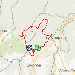

Length
11.6 km

Max alt
372 m

Uphill gradient
220 m
Km-Effort
14.6 km

Min alt
221 m

Downhill gradient
223 m
Boucle
Yes
Creation date :
2018-06-26 16:32:55.62
Updated on :
2018-06-26 16:32:55.62
3h26
Difficulty : Easy

FREE GPS app for hiking
 SityTrail
IGN / Geographical institutes
SityTrail Plus
The world is yours!
About
Trail Walking of 11.6 km to be discovered at Grand Est, Ardennes, Givonne. This trail is proposed by PascalBanide.
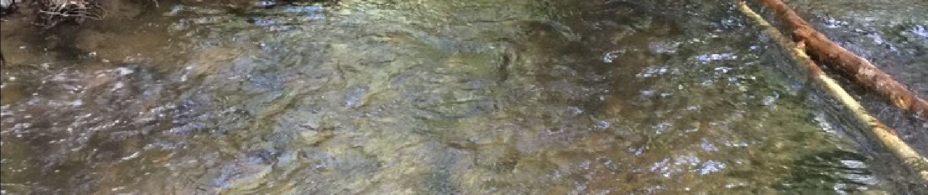
Photos


Positioning
Country:
France
Region :
Grand Est
Department/Province :
Ardennes
Municipality :
Givonne
Location:
Unknown
Start:(Dec)
Start:(UTM)
643345 ; 5510423 (31U) N.
Comments