


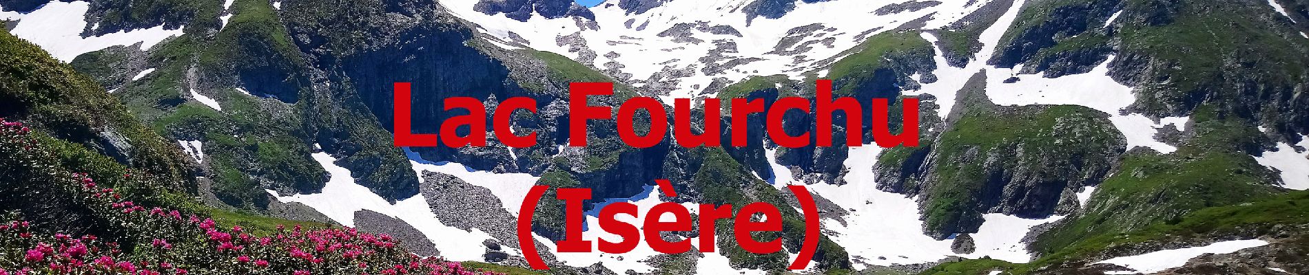
Lac fourchu 2 - valette - Description et vidéo

bob2023
User


3h56
Difficulty : Medium

FREE GPS app for hiking
 SityTrail
IGN / Geographical institutes
SityTrail Plus
The world is yours!
About
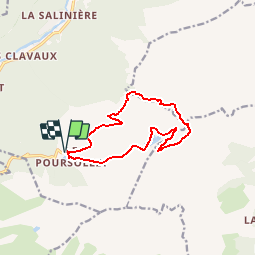
Trail Walking of 11.9 km to be discovered at Auvergne-Rhône-Alpes, Isère, Livet-et-Gavet. This trail is proposed by bob2023.
Description
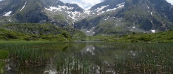
2ème rando au Lac Fourchu 38220 Livet-et-Gavet (région de Grenoble) . Petite modification de l'itinéraire pour voir le lac noir et le lac de l'agneau en plus du lac Fourchu.
Le retour se fait toujours par la Valette, très agréable descente.
Pensez à partir tôt, les places de parking se remplissent très vite.
Pas de difficultés particulières, à part la montée du début qui peut être plus dur par forte chaleur.
Photos


Positioning
Comments