Trail Cycle Losenstein - Losenstein - Mooshöhe - Grossreifling - Photo

Losenstein - Mooshöhe - Grossreifling

© OpenStreetMap contributors
Length
Length
54 km
Max alt
Max alt
863 m
Uphill gradient
Uphill gradient
1520 m
Km-Effort
Km-Effort  
74 km
Min alt
Min alt
345 m
Downhill gradient
Downhill gradient
1421 m
Boucle
Boucle
No
Creation date :
2018-06-26 16:43:01.697
Updated on :
2018-06-26 16:43:01.697

(0 Reviews)

Cycle
Cycle
4h02
Difficulty : Very difficult

Scan this QR Code to open this trail in the SityTrail application

FREE GPS app for hiking

Logo SityTrail SityTrail

IGN / Geographical institutes

Download SityTrail from the App Store Download SityTrail from Google Play

Logo SityTrail SityTrail World

The world is yours!

Download SityTrail from the App Store Download SityTrail from Google Play Download SityTrail on Huawei AppGallery

About

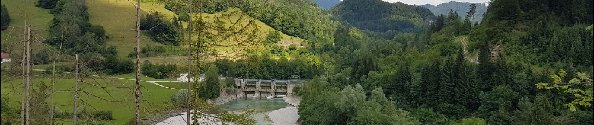
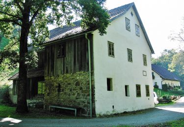
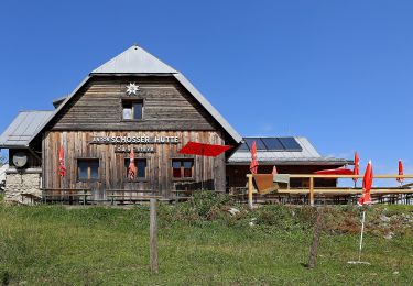
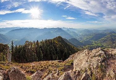
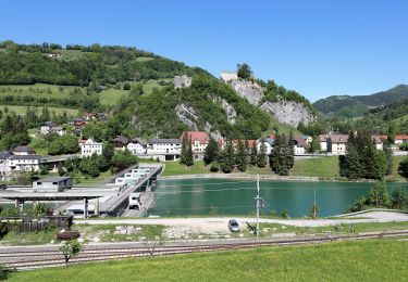
Trail Cycle of 54 km to be discovered at Upper Austria, Bezirk Steyr-Land, Losenstein. This trail is proposed by karawatsj.

Elevation profile

Photos

Positioning

Country:
Austria
Region :
Upper Austria
Department/Province :
Bezirk Steyr-Land
Municipality :
Losenstein
Location:
Unknown
Start:(UTM)
457485 ; 5308051 (33T) N.

Trails nearby

Trail On foot Losenstein - Wanderweg 23 - Photo
On foot
PRO

On foot

Easy
Losenstein, Upper Austria, Bezirk Steyr-Land, Austria
4.8 km | 9.2 km-effort
2h 4min
No
Trail On foot Losenstein - Wanderweg 31 - Photo
On foot
PRO

On foot

Easy
Losenstein, Upper Austria, Bezirk Steyr-Land, Austria
5.1 km | 12.6 km-effort
2h 51min
No
Trail On foot Reichraming - Wanderweg 25 - Photo
On foot
PRO

On foot

Easy
Reichraming, Upper Austria, Bezirk Steyr-Land, Austria
7 km | 14.8 km-effort
3h 21min
No
Trail On foot Reichraming - Wanderweg 24 - Photo
On foot
PRO

On foot

Easy
Reichraming, Upper Austria, Bezirk Steyr-Land, Austria
5.8 km | 8.5 km-effort
1h 56min
No


Close
My subscriptions