


Bad Gastein - Spittal an der Drau

karawatsj
User
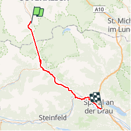

Length
62 km

Max alt
2679 m

Uphill gradient
2176 m
Km-Effort
92 km

Min alt
536 m

Downhill gradient
2714 m
Boucle
No
Creation date :
2018-06-26 17:14:07.019
Updated on :
2018-06-26 17:14:07.019
3h11
Difficulty : Easy

FREE GPS app for hiking
 SityTrail
IGN / Geographical institutes
SityTrail Plus
The world is yours!
About
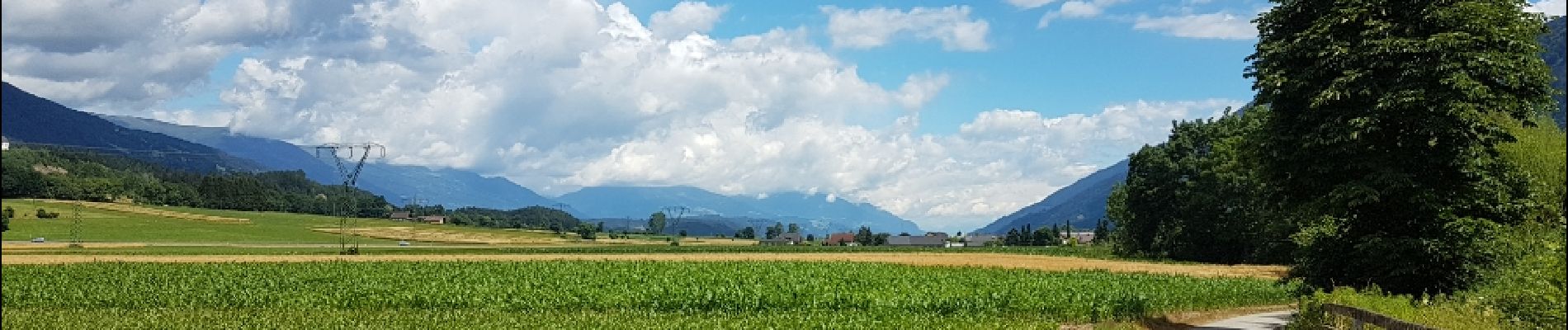
Trail Cycle of 62 km to be discovered at Salzburg, Bezirk St. Johann im Pongau, Bad Gastein. This trail is proposed by karawatsj.
Photos


Positioning
Country:
Austria
Region :
Salzburg
Department/Province :
Bezirk St. Johann im Pongau
Municipality :
Bad Gastein
Location:
Unknown
Start:(Dec)
Start:(UTM)
358384 ; 5218570 (33T) N.
Comments