


Parc éolien

Claudele
User

Length
26 km

Max alt
380 m

Uphill gradient
619 m
Km-Effort
34 km

Min alt
111 m

Downhill gradient
619 m
Boucle
Yes
Creation date :
2018-06-26 17:14:58.42
Updated on :
2018-06-26 17:14:58.42
8h35
Difficulty : Difficult

FREE GPS app for hiking
 SityTrail
IGN / Geographical institutes
SityTrail Plus
The world is yours!
About
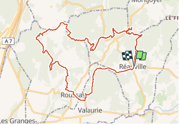
Trail Walking of 26 km to be discovered at Auvergne-Rhône-Alpes, Drôme, Réauville. This trail is proposed by Claudele.
Positioning
Country:
France
Region :
Auvergne-Rhône-Alpes
Department/Province :
Drôme
Municipality :
Réauville
Location:
Unknown
Start:(Dec)
Start:(UTM)
646786 ; 4922864 (31T) N.
Comments