


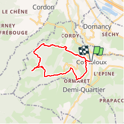


47 km | 90 km-effort

User


FREE GPS app for hiking
 SityTrail
IGN / Geographical institutes
SityTrail World
The world is yours!
Trail Walking of 11.8 km to be discovered at Auvergne-Rhône-Alpes, Upper Savoy, Combloux. This trail is proposed by GerardBouche.
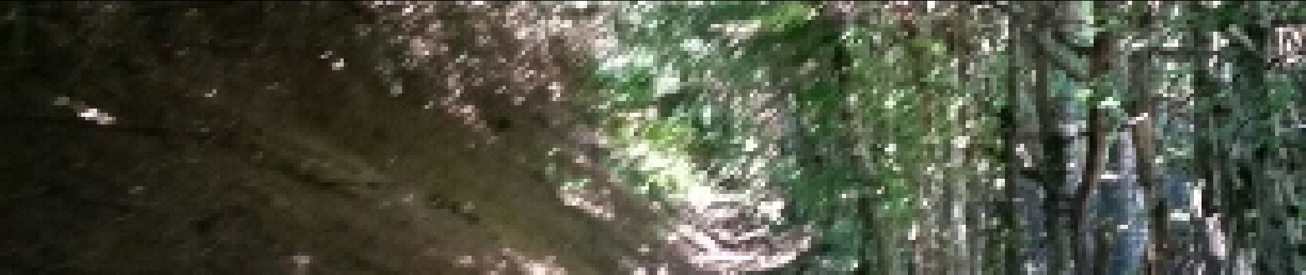
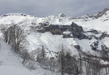
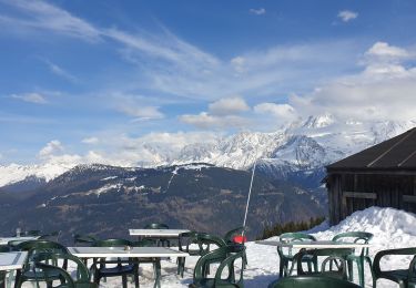
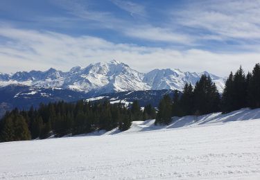
Très belle rando par La Côte, Montavus, les Lovatières jusqu'au lieu dit "le Châble " ... la montée est raide mais un magnifique point de vue sur le Mt-Blanc vous attends !. La descente par le Châble d'en Bas, le Cuchet et la ferme pédagogique dans le très beau quartier de l'Ormaret.
. - Photo 1")
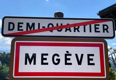
. - Photo 2")
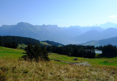
. - Photo 3")
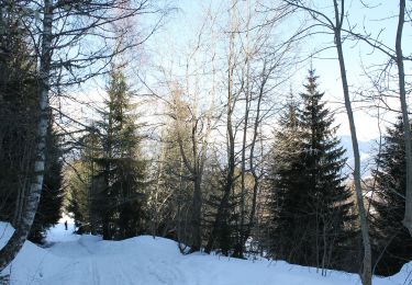
. - Photo 4")
. - Photo 5")
. - Photo 6")
. - Photo 7")
. - Photo 8")

Walking

Mountain bike

Walking
Snowshoes
Snowshoes
Touring skiing
Walking
On foot
On foot