


massif de l'Espinouse

jpbearnais
User
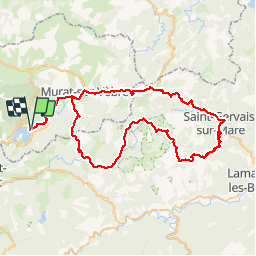

Length
82 km

Max alt
1122 m

Uphill gradient
1651 m
Km-Effort
104 km

Min alt
316 m

Downhill gradient
1649 m
Boucle
Yes
Creation date :
2019-01-15 12:19:26.027
Updated on :
2019-01-15 12:19:26.027
4h50
Difficulty : Medium

FREE GPS app for hiking
 SityTrail
IGN / Geographical institutes
SityTrail Plus
The world is yours!
About
Trail Equestrian of 82 km to be discovered at Occitania, Tarn, Nages. This trail is proposed by jpbearnais.
Description
Très bien
Photos


Positioning
Country:
France
Region :
Occitania
Department/Province :
Tarn
Municipality :
Nages
Location:
Unknown
Start:(Dec)
Start:(UTM)
482319 ; 4832661 (31T) N.
Comments
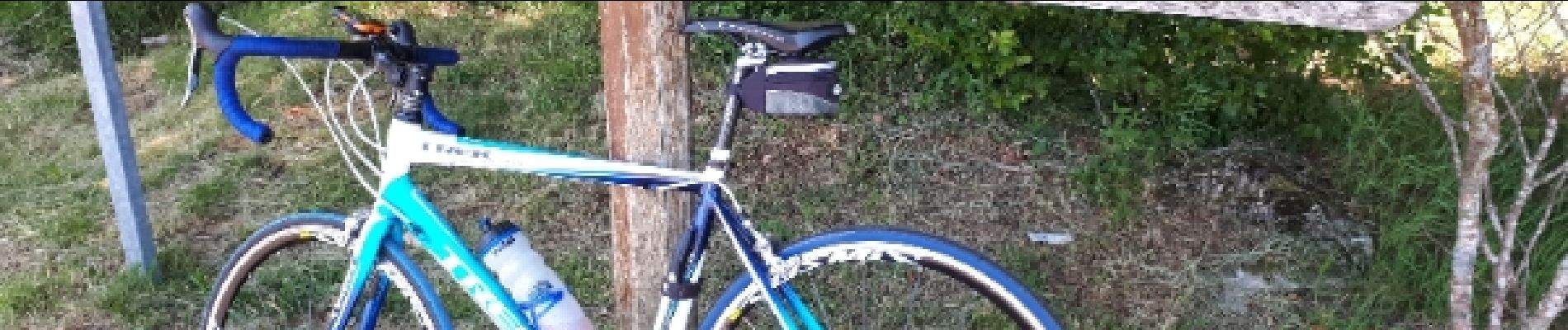
Bjr Rien à voir avec le cheval. Ou plutôt cheval d'acier jpbearnais