


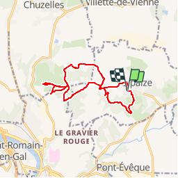

146 km | 162 km-effort


User


FREE GPS app for hiking
 SityTrail
IGN / Geographical institutes
SityTrail World
The world is yours!
Trail Mountain bike of 13.4 km to be discovered at Auvergne-Rhône-Alpes, Isère, Serpaize. This trail is proposed by marc6262.
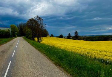
balade autour de la commune un beau canyon et de beaux points de vue
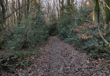
pas long mais sympa
Hybrid bike
Walking

Cycle
Walking
Road bike
Walking

On foot
On foot
Bicycle tourism