


Valgaudemar - La Chapelle Vallon de la Navette - 10.9km 420m 3h25 - 2018 06 30 - public

Orcal37
User GUIDE
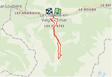

Length
10.9 km

Max alt
1431 m

Uphill gradient
409 m
Km-Effort
16.4 km

Min alt
1098 m

Downhill gradient
411 m
Boucle
Yes
Creation date :
2019-01-15 12:33:07.063
Updated on :
2021-09-20 18:18:14.762
4h30
Difficulty : Medium

FREE GPS app for hiking
 SityTrail
IGN / Geographical institutes
SityTrail Plus
The world is yours!
About
Trail Walking of 10.9 km to be discovered at Provence-Alpes-Côte d'Azur, Hautes-Alpes, La Chapelle-en-Valgaudémar. This trail is proposed by Orcal37.
Description
Valgaudemar - La Chapelle Vallon de la Navette - 10.9km 420m 3h25 - 2018 06 30 - public
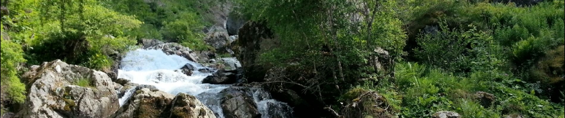
Photos


Positioning
Country:
France
Region :
Provence-Alpes-Côte d'Azur
Department/Province :
Hautes-Alpes
Municipality :
La Chapelle-en-Valgaudémar
Location:
Unknown
Start:(Dec)
Start:(UTM)
278257 ; 4966384 (32T) N.
Comments