


Valgaudemar - La Chapelle (les Portes) forêt - 4.3km 285m 1h35 - 2018 07 05 - public

Orcal37
User GUIDE
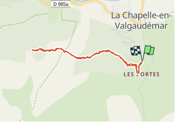

Length
4.3 km

Max alt
1554 m

Uphill gradient
285 m
Km-Effort
8.1 km

Min alt
1270 m

Downhill gradient
286 m
Boucle
Yes
Creation date :
2019-01-15 12:34:02.26
Updated on :
2021-09-09 16:27:26.739
1h40
Difficulty : Easy

FREE GPS app for hiking
 SityTrail
IGN / Geographical institutes
SityTrail Plus
The world is yours!
About
Trail Walking of 4.3 km to be discovered at Provence-Alpes-Côte d'Azur, Hautes-Alpes, La Chapelle-en-Valgaudémar. This trail is proposed by Orcal37.
Description
Valgaudemar - La Chapelle (les Portes) forêt - 4.3km 285m 1h35 - 2018 07 05 - public
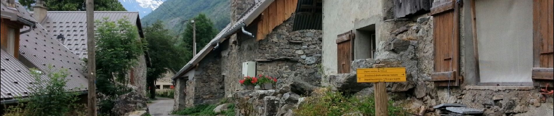
Photos
 forêt - 4.3km 285m 1h35 - 2018 07 05 - public - Photo 1")
 forêt - 4.3km 285m 1h35 - 2018 07 05 - public - Photo 2")
 forêt - 4.3km 285m 1h35 - 2018 07 05 - public - Photo 3")
 forêt - 4.3km 285m 1h35 - 2018 07 05 - public - Photo 4")
 forêt - 4.3km 285m 1h35 - 2018 07 05 - public - Photo 5")
Positioning
Country:
France
Region :
Provence-Alpes-Côte d'Azur
Department/Province :
Hautes-Alpes
Municipality :
La Chapelle-en-Valgaudémar
Location:
Unknown
Start:(Dec)
Start:(UTM)
278291 ; 4965866 (32T) N.
Comments