


5,2 km | 6,1 km-effort
Aalter: Descubra las mejores excursiones: 7 a pie, 16 senderismo y 2 marcha nórdica. Todos estos circuitos, recorridos, itinerarios y actividades al aire libre están disponibles en nuestras aplicaciones SityTrail para smartphone y tablet.
A pie


• Trail created by Natuur en Bos. Pijltjes ontbreken vanaf Het Eilendje. Wellicht is de route nog niet volledig uitgez...
A pie
• We kunnen het grote Keigatbosgebied beschouwen als een uitloper van het Drongengoedgebied, maar het Keigatbos heeft t...
A pie
• Trail created by Natuurpunt. Symbol: rectangle
A pie
• Trail created by Natuurpunt. Symbol: square Sitio web: https://www.natuurpunt.be/natuurgebied/de-vaanders

Senderismo

A pie
• Het huidige neoclassicistische kerkje kwam er in 1842 nadat de oude gotische kerk er bouwvallig bijstond in het begin...
Senderismo
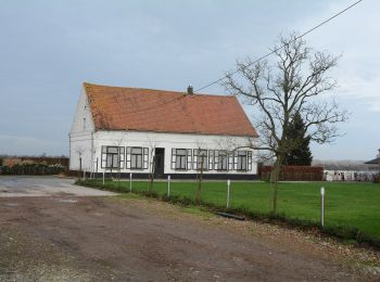
• campagne Flamande
Senderismo
Senderismo
Senderismo
Senderismo
• More information on : http://www.wandelroutes.org
Senderismo
• More information on : http://www.wandelroutes.org
A pie
A pie
Senderismo
Senderismo
Senderismo
Senderismo
Senderismo
Senderismo
20 excursiones mostradas en 25
Aplicación GPS de excursión GRATIS
 SityTrail
IGN / Institutos geográficos
SityTrail World
El mundo es suyo