


3 km | 4,2 km-effort
Saarbrücken: Descubra las mejores excursiones: 8 a pie y 2 senderismo. Todos estos circuitos, recorridos, itinerarios y actividades al aire libre están disponibles en nuestras aplicaciones SityTrail para smartphone y tablet.
A pie


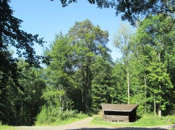
• Der vom Saarländischen Rundfunk konzipierte Rundweg "Historischer Halberg" beginnt auf dem Parkplatz, linkerhand der ...
A pie
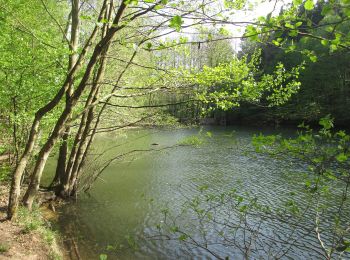
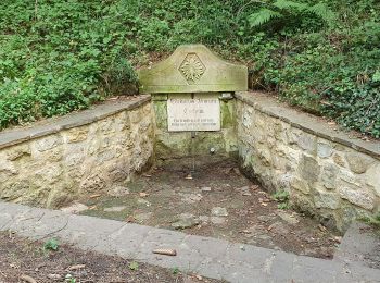
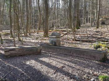
• Trail created by Ensheimer Brunnenfreunde.

A pie
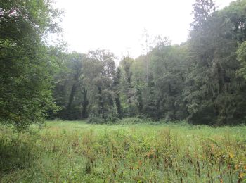
• Urwald vor den Toren der Stadt Sitio web: https://saar-urwald.de/den-urwald-erleben/wandern-im-urwald/urwaldtour-abe...
A pie
• Urwald vor den Toren der Stadt Sitio web: http://www.saar-urwald.de/den-urwald-erleben/wandern-im-urwald/wilder-netz...
A pie
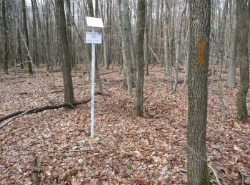
• Symbol: fliegender Milan
A pie
• Trail created by Ortsgruppe Bischmisheim. Symbol: gelbes ausgefülltes Dreieck auf Boden von weißem quadratischen Grund
A pie
• Trail created by Ensheimer Brunnenfreunde.
A pie
• Symbol: weißer Punkt mit rotem "S" auf blauem quadratischen Grund
Senderismo
Senderismo
10 excursiones mostradas en 10
Aplicación GPS de excursión GRATIS
 SityTrail
IGN / Institutos geográficos
SityTrail World
El mundo es suyo