


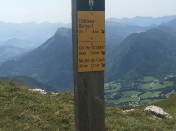
8,6 km | 11,8 km-effort
Corrençon-en-Vercors: Descubra las mejores excursiones: 4 a pie, 173 senderismo, 5 marcha nórdica, 5 carrera y 3 ruta. Todos estos circuitos, recorridos, itinerarios y actividades al aire libre están disponibles en nuestras aplicaciones SityTrail para smartphone y tablet.
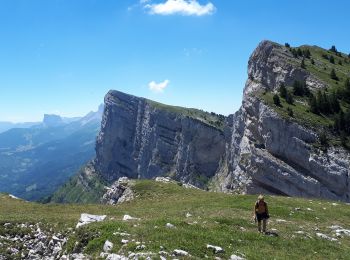
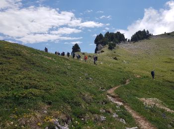
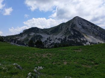
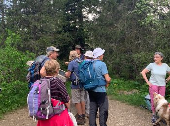
Senderismo


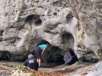
Senderismo
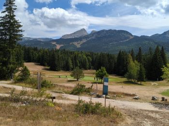
Senderismo
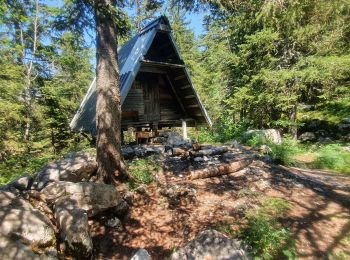
Senderismo
Senderismo
Senderismo
Senderismo
Senderismo
Senderismo
Senderismo
Senderismo
Senderismo
Senderismo
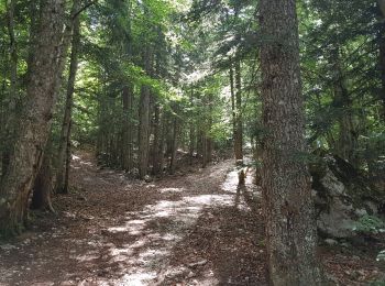
• Belle boucle. La montée par la Combe du Souillet est agréable et ombragée. Sentier tracé jusqu'à la cabane de la comb...
Senderismo
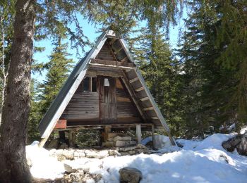
• Belle boucle, avec de la neige à partir de 1300 m malgré l'époque (5 Mai 2017). Montée à la Combe de Fer: Bon sentier...
Senderismo
Senderismo
Senderismo
Senderismo
Senderismo
Senderismo
20 excursiones mostradas en 189
Aplicación GPS de excursión GRATIS
 SityTrail
IGN / Institutos geográficos
SityTrail World
El mundo es suyo