


7,8 km | 12,7 km-effort
Rivière-sur-Tarn: Descubra las mejores excursiones: 18 senderismo, 2 carrera y 1 ruta. Todos estos circuitos, recorridos, itinerarios y actividades al aire libre están disponibles en nuestras aplicaciones SityTrail para smartphone y tablet.
Senderismo


Senderismo
Senderismo
Senderismo
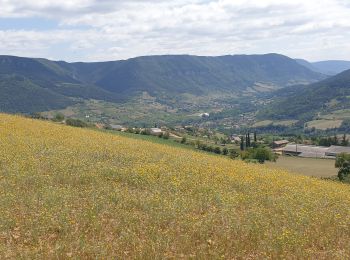
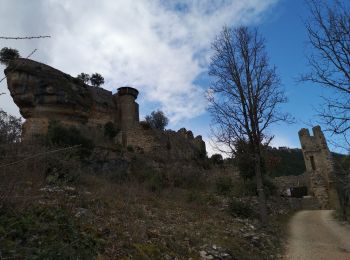
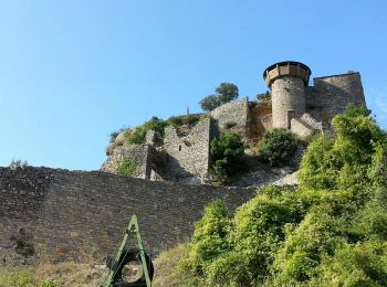
• Grands Causses - Peyrelade - Chateau-vignes-forêt - 2016 09 09 - dej 40mn

Senderismo

Senderismo
Senderismo

Senderismo

Senderismo

Senderismo
Senderismo
Senderismo

Carrera
• Total: 12.5km
Senderismo
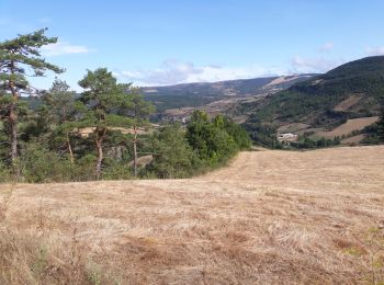
• Rando un peu dure
Senderismo
Senderismo
Carrera
Senderismo
Senderismo
Senderismo
20 excursiones mostradas en 20
Aplicación GPS de excursión GRATIS
 SityTrail
IGN / Institutos geográficos
SityTrail World
El mundo es suyo