


5,4 km | 8,8 km-effort
Conques-en-Rouergue: Descubra las mejores excursiones: 18 a pie, 82 senderismo y 1 marcha nórdica. Todos estos circuitos, recorridos, itinerarios y actividades al aire libre están disponibles en nuestras aplicaciones SityTrail para smartphone y tablet.
Senderismo


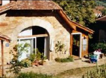
• On part du manoir des Pelies , chambre d hôtes et on monte rapidement sur la gauche à travers des prairies a moutons ...
Senderismo
Senderismo
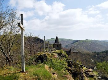
A pie
• Trail created by office de tourisme Conques Marcillac.
A pie
• Trail created by Office de Tourisme de Conques Marcillac.
A pie
• Trail created by Office de Tourisme Conques-Marcillac.
A pie
• Trail created by Office de Tourisme Conques Marcillac.
Senderismo
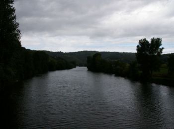
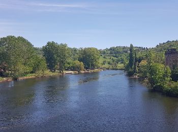
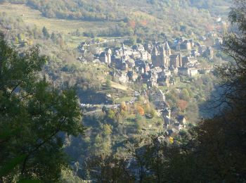
• 10ème Etape depuis Le Puy La sortie de Conques est superbe.
Senderismo
A pie
A pie
A pie
A pie
A pie
A pie
A pie
A pie

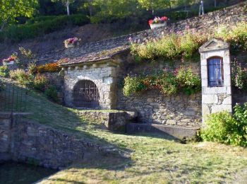
Senderismo
Senderismo
Senderismo
20 excursiones mostradas en 101
Aplicación GPS de excursión GRATIS
 SityTrail
IGN / Institutos geográficos
SityTrail World
El mundo es suyo