


12 km | 15,3 km-effort
Córcega: Descubra las mejores excursiones: 90 a pie, 2759 senderismo, 31 marcha nórdica, 88 carrera y 50 ruta. Todos estos circuitos, recorridos, itinerarios y actividades al aire libre están disponibles en nuestras aplicaciones SityTrail para smartphone y tablet.

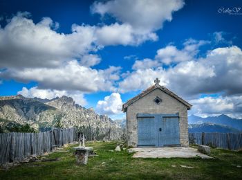
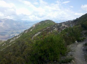
Senderismo


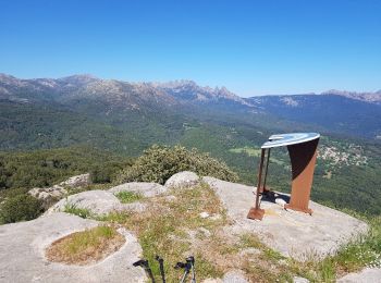
Senderismo

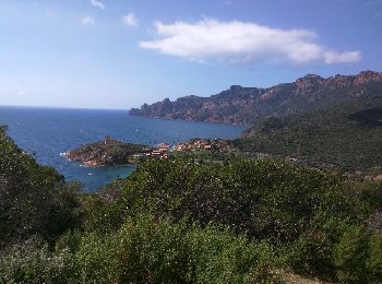
Senderismo
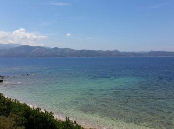
Senderismo
Senderismo
Senderismo
Senderismo
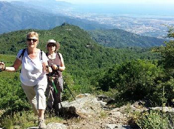
A pie
Senderismo
• Très belle étape avec des paysages variés. La variante par la 'Punta di a Cuciurpula' vaut le coup: Très belle vue à ...
Senderismo
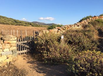
• Boucle au départ du col jusqu'à Girolztta, retour par le sentier côtier
Senderismo
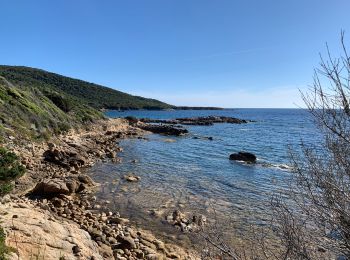
• Début très beau, sentier du litoral et crête. Fin par la route fastidieux.

Senderismo
• superbe boucle sur chemins séculaires.Prévoir deuxième voiture à Lama ou auto-stop pour retour à Pietralba
Senderismo
Senderismo
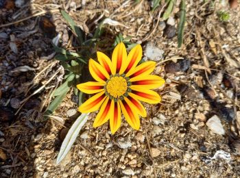
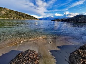
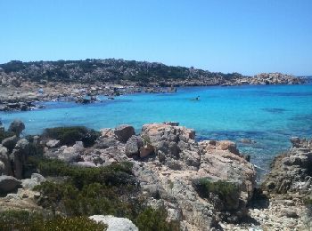
• balade littoral
Senderismo
• Montée au Monte Sant'Angelo en partant de Silvareccio
Senderismo
• Boucle - Départ depuis le refuge de Bucchinera vers les bergeries de Chiralbella, remontée vers le GR 20 et le sommet...
Senderismo
Senderismo
•
Senderismo
• Aller retour
Senderismo
20 excursiones mostradas en 3010
Aplicación GPS de excursión GRATIS
 SityTrail
IGN / Institutos geográficos
SityTrail World
El mundo es suyo