


5,4 km | 9,5 km-effort
Granada: Descubra las mejores excursiones: 111 a pie y 6 en bici o bici de montaña. Todos estos circuitos, recorridos, itinerarios y actividades al aire libre están disponibles en nuestras aplicaciones SityTrail para smartphone y tablet.
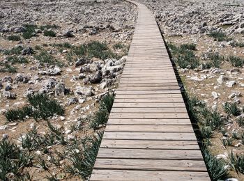
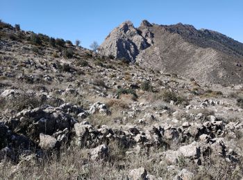
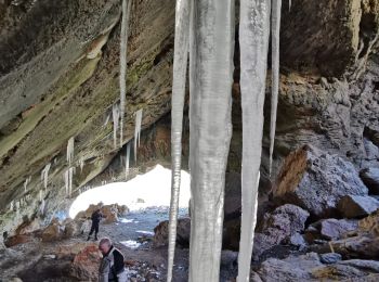
Senderismo


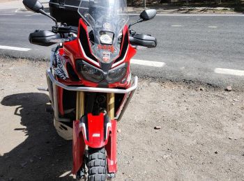
Motocross
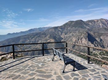
A pie
• Trail created by Federación Andaluza de Montañismo.
A pie
• Symbol: white strip on top of yellow strip
Senderismo
Senderismo

Motocross
Senderismo
Motocross
Senderismo
Senderismo

Motocross
Motocross
Senderismo
Senderismo
Senderismo
Motocross
Senderismo
Senderismo
Motocross
20 excursiones mostradas en 204
Aplicación GPS de excursión GRATIS
 SityTrail
IGN / Institutos geográficos
SityTrail World
El mundo es suyo