


14,2 km | 21 km-effort

Usuario


Aplicación GPS de excursión GRATIS
 SityTrail
IGN / Institutos geográficos
SityTrail World
El mundo es suyo
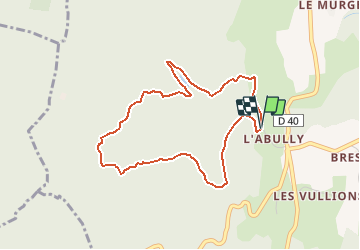
Ruta Senderismo de 4,1 km a descubrir en Auvergne-Rhône-Alpes, Saboya, Loisieux. Esta ruta ha sido propuesta por tracegps.
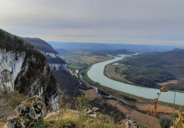
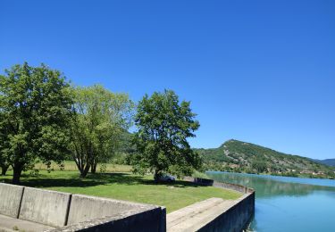
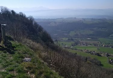
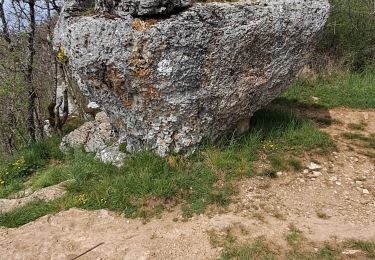
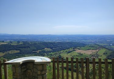
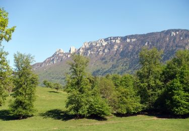
Au départ du parking des chasseurs de Labully, une courte balade permet de revenir sur les sentiers oubliés du Bois de Glaize. Montant d'abord le chemin de Yenne au Mont Tournier, un petit talweg donne accès au vieux sentier qui monte la rive Nord de la Lechere. Plein Nord, on retrouve le beau canyon qui permet de descendre retrouver la Grange de la Combe. Plus bas, quittant la piste, une belle sente rattrape le chemin de la Grange des Rochettes pour rejoindre le point de départ. Description complète sur sentier-nature.com : Première neige sur le Bois de Glaize Avertissement [Orientation 1/3].

Paseo ecuestre
Paseo ecuestre
Senderismo
Paseo ecuestre
Senderismo
Senderismo
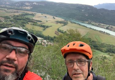
Bici de montaña
Paseo ecuestre
Senderismo