


1,2 km | 1,4 km-effort


Usuario


Aplicación GPS de excursión GRATIS
 SityTrail
IGN / Institutos geográficos
SityTrail World
El mundo es suyo
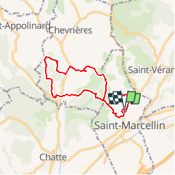
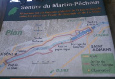
Ruta Senderismo de 13,1 km a descubrir en Auvergne-Rhône-Alpes, Isère, Saint-Marcellin. Esta ruta ha sido propuesta por tracegps.
La Ronde du St Marcellin 13 km. Course Nature, randonnée pédestre, course enfants, organisée par ALSM CROSS, inscrite au Challenge CDCHS38 2011. 3me Édition le 22 mai 2011 à 9h00.

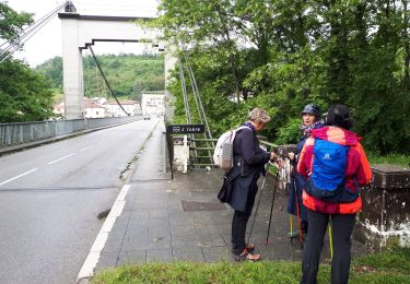
Senderismo
Marcha nórdica
Senderismo
Carrera

Bici de montaña
Bici de carretera
Marcha nórdica
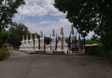
Senderismo
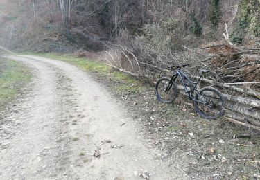
Bici de montaña