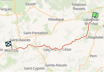
62 km | 81 km-effort
Labastide Marnhac - Montcuq
poupartbertrand
Usuario
Longitud
21 km
Altitud máxima
304 m
Desnivel positivo
251 m
Km-Effort
25 km
Altitud mínima
177 m
Desnivel negativo
356 m
Boucle
No
Fecha de creación :
2014-12-10 00:00:00.0
Última modificación :
2014-12-10 00:00:00.0
3h55
Dificultad : Medio
Aplicación GPS de excursión GRATIS
A propósito
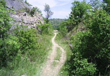
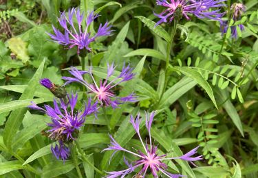
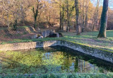
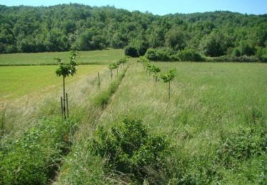
Ruta Senderismo de 21 km a descubrir en Occitania, Lot, Labastide-Marnhac. Esta ruta ha sido propuesta por poupartbertrand.
Descripción
Gr65
Localización
País:
France
Región :
Occitania
Departamento/provincia :
Lot
Municipio :
Labastide-Marnhac
Localidad:
Unknown
Salida:(Dec)
Salida:(UTM)
372472 ; 4916172 (31T) N.
Comentarios
Excursiones cerca
Mon Compostelle huitième étape
Senderismo
Difícil
Labastide-Marnhac,
Occitania,
Lot,
France
51 km | 65 km-effort
10h 40min
No
Circuit ouest de Trespoux Rassiels
Bici de montaña
Muy difícil
Trespoux-Rassiels,
Occitania,
Lot,
France
38 km | 51 km-effort
4h 15min
Sí
Raid Cahors La Rozière 2006
Bici de montaña
Muy difícil
Cahors,
Occitania,
Lot,
France
59 km | 78 km-effort
4h 40min
Sí
Cluzel au temps des bleuets
Senderismo
Muy fácil
Labastide-Marnhac,
Occitania,
Lot,
France
10,2 km | 11,7 km-effort
2h 9min
Sí
Cluzel 3
Senderismo
Medio
Labastide-Marnhac,
Occitania,
Lot,
France
8,4 km | 10 km-effort
1h 40min
Sí
trail Trèspoux
Carrera
Muy fácil
Trespoux-Rassiels,
Occitania,
Lot,
France
10 km | 13,1 km-effort
1h 14min
Sí
De la Rozière à Labastide-Marnhac
Bici de montaña
Medio
Cahors,
Occitania,
Lot,
France
17,2 km | 22 km-effort
1h 30min
Sí
De la Rozière à Labastide-Marnhac
Senderismo
Difícil
Cahors,
Occitania,
Lot,
France
17,2 km | 22 km-effort
3h 30min
Sí