


18,5 km | 37 km-effort

Usuario


Aplicación GPS de excursión GRATIS
 SityTrail
IGN / Institutos geográficos
SityTrail World
El mundo es suyo
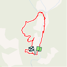
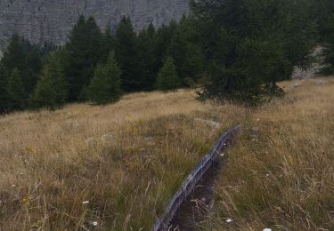
Ruta Senderismo de 4,3 km a descubrir en Provenza-Alpes-Costa Azul, Alpes de Alta Provenza, Saint-Pons. Esta ruta ha sido propuesta por Coqorico.
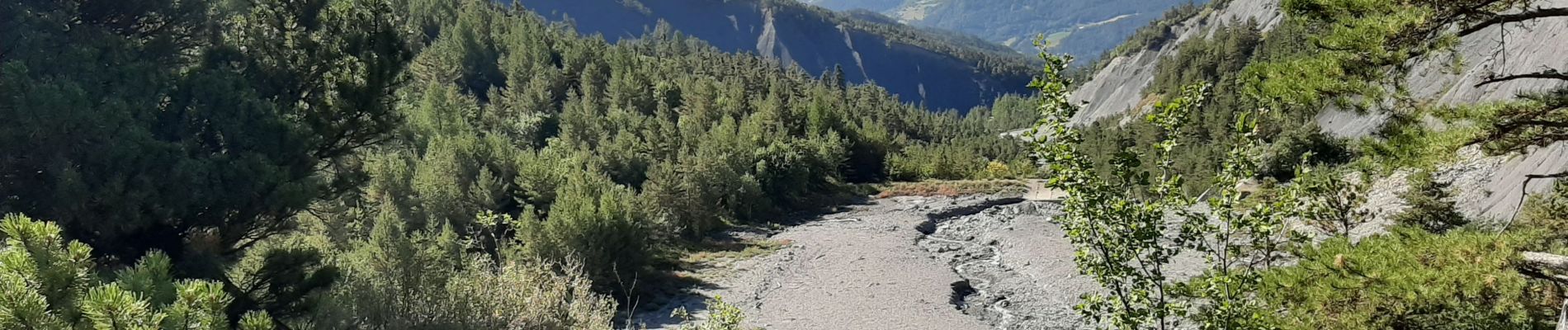
Une jolie randonnée à la découverte d'un lieu emblématique des soucis d'érosion autour de Barcelonnette.
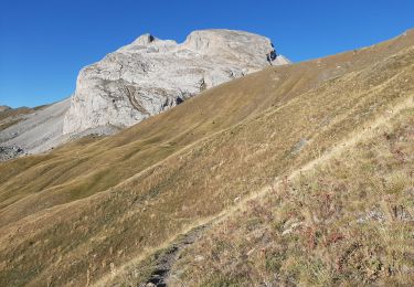
Attention : quelques passages difficiles avec des courtes pentes raides pouvant glisser, notamment pendant la montée, ainsi qu'un passage en arrête vertigineux sur une dizaine de mètres.
Le premier "pont" n'existe plus, c'est un passage à gué.
Randonnée à ne pas faire à la fonte des neiges ou par temps pluvieux, la traversée des gués pouvant alors être dangereuse !
Peut être combiné avec une boucle par le chemin des Cognetons.


Senderismo
Senderismo
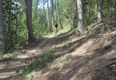
Bici de montaña
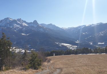
Senderismo

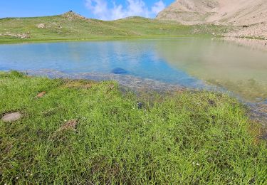
Senderismo
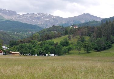
Senderismo
Senderismo

Esquí de fondo
Senderismo
Une randonnée assez courte pour une demie journée. Assez sportive avec ses pentes raides et intéressantes pour la connaissance du lieu et son histoire.