


 - Photo 21")
 - Photo 22")
 - Photo 23")
 - Photo 24")
 - Photo 25")
 - Photo 26")
 - Photo 27")
 - Photo 28")
 - Photo 29")
 - Photo 30")
 - Photo 31")
 - Photo 32")
 - Photo 33")
 - Photo 34")

11 km | 18,1 km-effort

Usuario


Aplicación GPS de excursión GRATIS
 SityTrail
IGN / Institutos geográficos
SityTrail World
El mundo es suyo
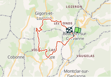
Ruta Senderismo de 14,9 km a descubrir en Auvergne-Rhône-Alpes, Drôme, Beaufort-sur-Gervanne. Esta ruta ha sido propuesta por Philindy26.
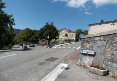
Départ du village de Beaufort-sur-Gervanne...
Géolocalisation (Google Maps) : https://goo.gl/maps/mnRsbNsLEbaT1TX36
Prendre la direction du hameau des Jaux (357 m), commune de Suze par la D70A.
Montée au vieux village de Suze (450 m) puis direction la Croix de Saint-Pancrace par Les Châteaux (495 m).
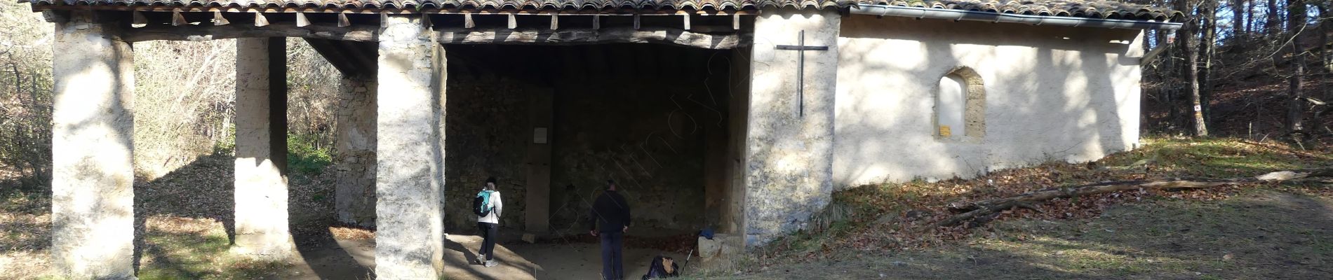
Un aller-retour à la Croix (688 m) et direction la Chapelle Saint-Pancrace (643 m).
Le retour s'effectue en direction de Gigors, par Rabisson (500 m), Les Blaches (515 m), puis la route (D732) jusqu'à Beaufort-sur-Gervanne.
 - Photo 1")
 - Photo 2")
 - Photo 3")
 - Photo 4")
 - Photo 5")
 - Photo 6")
 - Photo 7")
 - Photo 8")
 - Photo 9")
 - Photo 10")
 - Photo 11")
 - Photo 12")
 - Photo 13")
 - Photo 14")
 - Photo 15")
 - Photo 16")
 - Photo 17")
 - Photo 18")
 - Photo 19")
 - Photo 20")
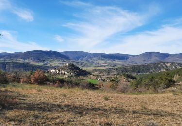
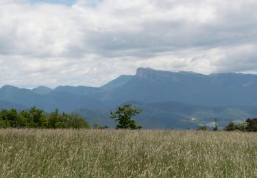
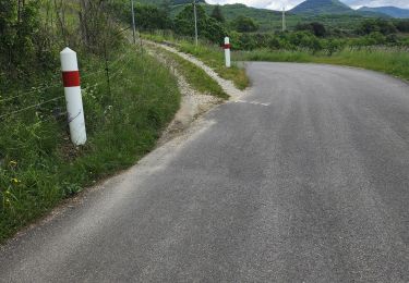
34 fotos en total. Haga clic en una foto para mostrarlas todas en la galería.
Senderismo
Senderismo
Senderismo

Senderismo
Senderismo
Senderismo
Senderismo
Senderismo
Senderismo
Belle balade. Beaux paysages. Mais trop de goudron !!!