


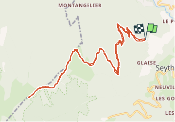

9,3 km | 22 km-effort


Usuario


Aplicación GPS de excursión GRATIS
 SityTrail
IGN / Institutos geográficos
SityTrail World
El mundo es suyo
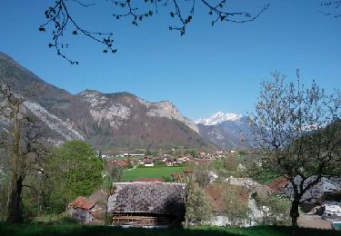
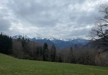
Ruta Bici eléctrica de 15,5 km a descubrir en Auvergne-Rhône-Alpes, Alta Saboya, Faverges-Seythenex. Esta ruta ha sido propuesta por franquen.
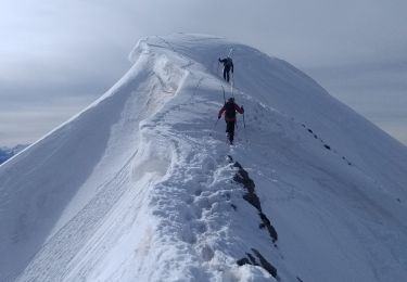
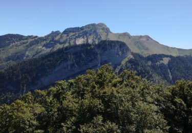
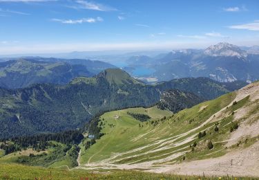
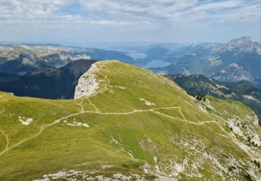
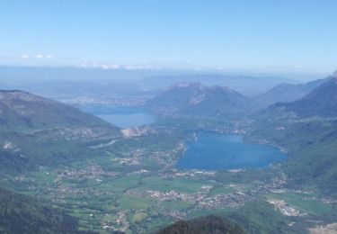
Un chemin un peu difficile car raide et très caillouteux mais la récompense est au bout : une vue magnifique sur le lac d'Annecy, un excellent acceuil et des beignets de pomme de terre succulents.

Senderismo
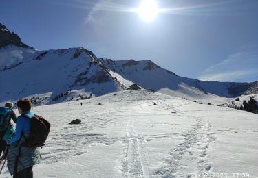
Esquí de fondo
Senderismo
Senderismo
Senderismo
Senderismo
Senderismo
Senderismo
Senderismo