


12,5 km | 14,5 km-effort

Usuario GUIDE


Aplicación GPS de excursión GRATIS
 SityTrail
IGN / Institutos geográficos
SityTrail World
El mundo es suyo
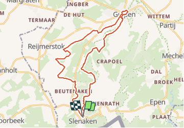
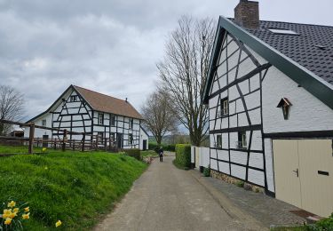
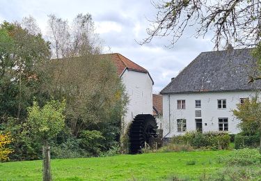
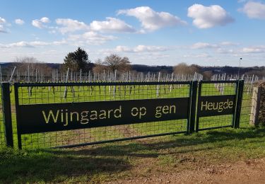
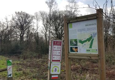
Ruta Senderismo de 17,6 km a descubrir en Limburgo, Desconocido, Gulpen-Wittem. Esta ruta ha sido propuesta por mumu.larandonneuse.
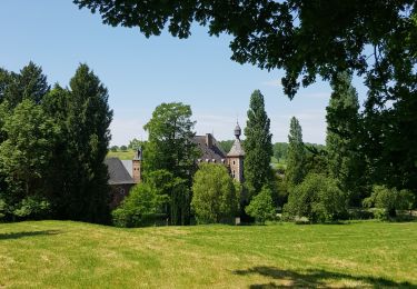
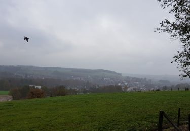
Superbe boucle vallonnée et panoramique dans le Zuid-Limburg.
ℹ Variante plus longue (passant par Gulpen) de la rando n° 1049 de www.wandelgidszuidlimburg.com.


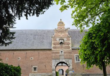
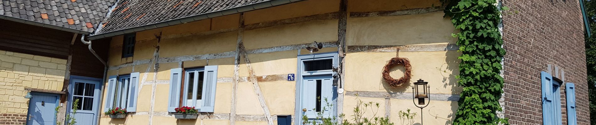
Senderismo
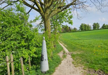
Senderismo
Senderismo
Senderismo
Senderismo
Senderismo
Senderismo
Senderismo
Senderismo
Très belle randonnée