


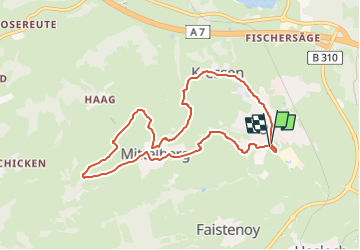

5,6 km | 6,8 km-effort


Tous les sentiers balisés d’Europe PRO


Aplicación GPS de excursión GRATIS
 SityTrail
IGN / Institutos geográficos
SityTrail World
El mundo es suyo
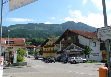
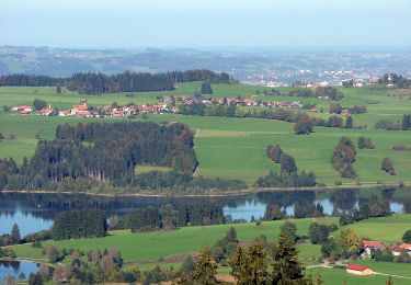
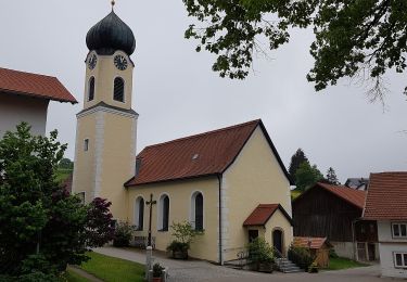
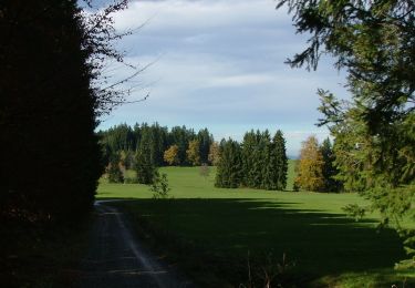
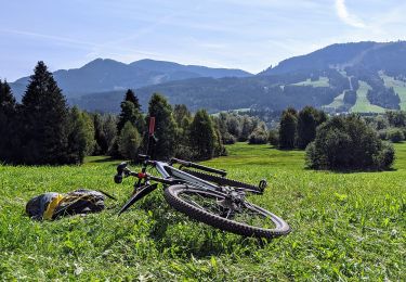
Ruta A pie de 8,2 km a descubrir en Baviera, Landkreis Oberallgäu, Oy-Mittelberg. Esta ruta ha sido propuesta por SityTrail - itinéraires balisés pédestres.
Trail created by Deutscher Alpenverein Sektion Oy/Allgäu.
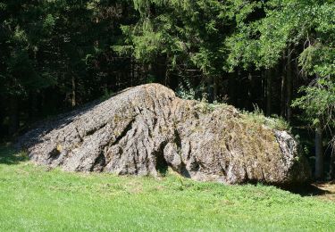
Symbol: Rundes schwarz-weißes Landschaftslogo


A pie
A pie
A pie
A pie
A pie
A pie

Senderismo