


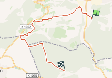

12,2 km | 15,2 km-effort


Tous les sentiers balisés d’Europe PRO


Aplicación GPS de excursión GRATIS
 SityTrail
IGN / Institutos geográficos
SityTrail World
El mundo es suyo
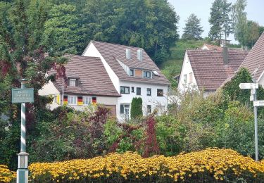
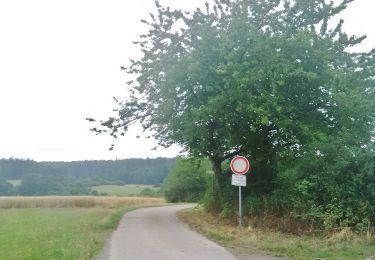
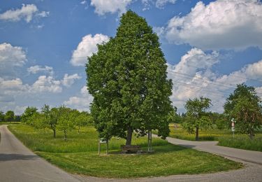
Ruta A pie de 7,1 km a descubrir en Baden-Wurtemberg, Landkreis Böblingen, Aidlingen. Esta ruta ha sido propuesta por SityTrail - itinéraires balisés pédestres.
Trail created by Schwarzwaldverein Gärtringen e.V..
Mit gelber und blauer Raute beschildert: yellow:white:yellow_diamond;blue:white:blue_diamond


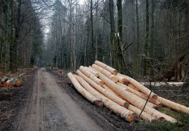
A pie
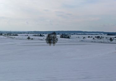
A pie
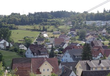
A pie
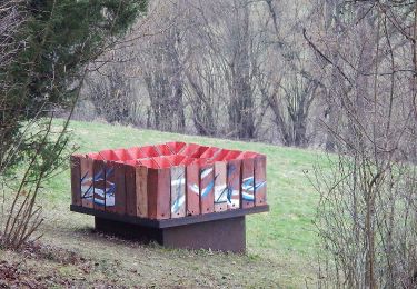
A pie
A pie
A pie
A pie
A pie