


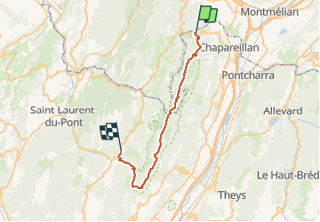

14,8 km | 35 km-effort


Usuario


Aplicación GPS de excursión GRATIS
 SityTrail
IGN / Institutos geográficos
SityTrail World
El mundo es suyo
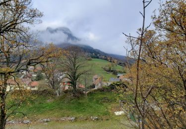
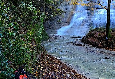
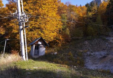
Ruta Senderismo de 35 km a descubrir en Auvergne-Rhône-Alpes, Isère, Chapareillan. Esta ruta ha sido propuesta por patricecoutaz.
Traversée de la Chartreuse

Senderismo

Senderismo

Senderismo
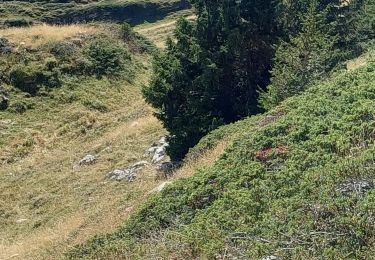
Senderismo
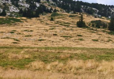
Senderismo
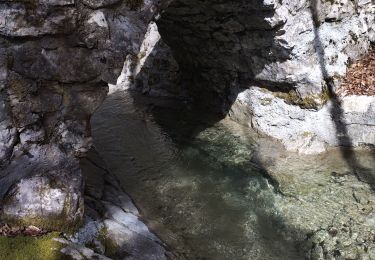
Senderismo
Senderismo
Bici de montaña
Senderismo