


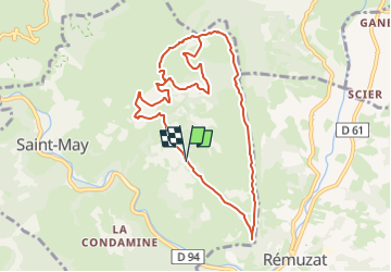

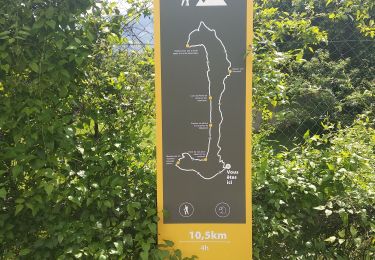
13,5 km | 25 km-effort


Usuario


Aplicación GPS de excursión GRATIS
 SityTrail
IGN / Institutos geográficos
SityTrail World
El mundo es suyo
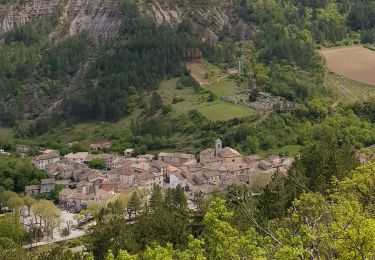
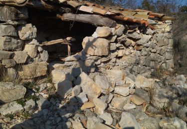
Ruta Senderismo de 10,6 km a descubrir en Auvergne-Rhône-Alpes, Drôme, Saint-May. Esta ruta ha sido propuesta por phidge.
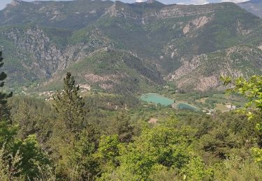
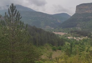
Partir de Remuzat vers le village de St May et monter jusqu'au ruine de l'abaye de Bodon t se garer au parking plus loin .
Senderismo
Senderismo
Senderismo
Senderismo
Senderismo
Senderismo
Senderismo
Senderismo
Senderismo