


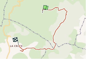

10,2 km | 16,3 km-effort


Usuario


Aplicación GPS de excursión GRATIS
 SityTrail
IGN / Institutos geográficos
SityTrail World
El mundo es suyo
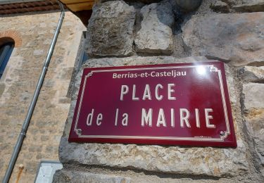
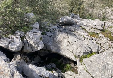
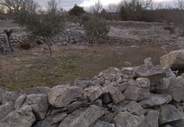
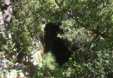
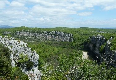
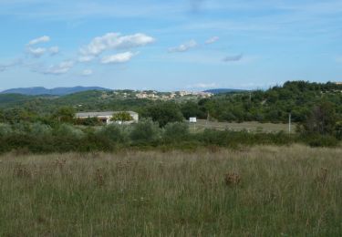
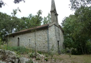
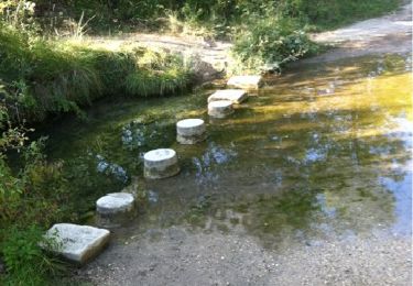
Ruta Senderismo de 7,5 km a descubrir en Auvergne-Rhône-Alpes, Ardecha, Beaulieu. Esta ruta ha sido propuesta por jpaul77.

Senderismo
Senderismo
Senderismo
Senderismo
Senderismo
Senderismo
Senderismo
Senderismo
Carrera