


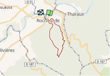

16,9 km | 25 km-effort

Usuario


Aplicación GPS de excursión GRATIS
 SityTrail
IGN / Institutos geográficos
SityTrail World
El mundo es suyo
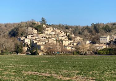
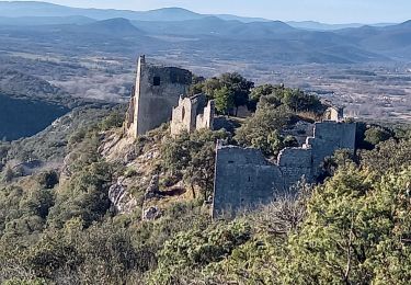
Ruta Senderismo de 5 km a descubrir en Occitania, Gard, Rochegude. Esta ruta ha sido propuesta por asclier0.
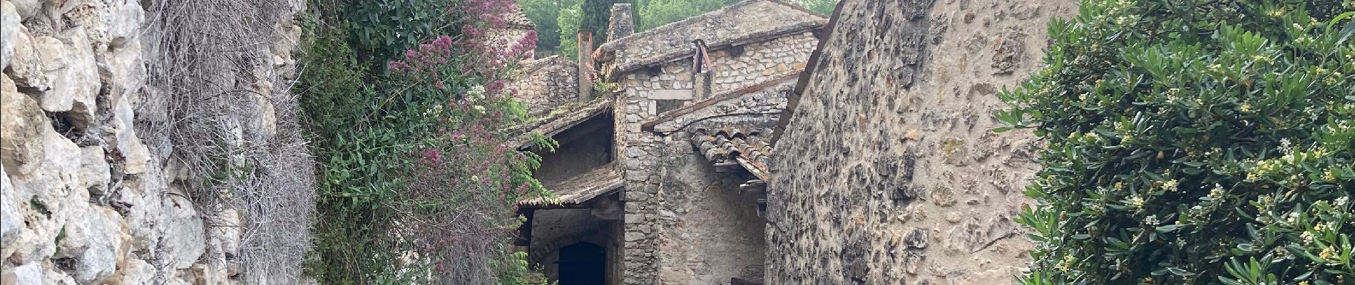
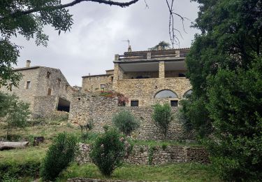
Une visite du hameau de Rochegude s'impose. Un labyrinthe qui monte et qui descend mais rempli de surprises. Très beau village.


Senderismo
Senderismo

Senderismo
Senderismo
Senderismo
Senderismo
Senderismo

Senderismo
Senderismo