Breitachklamm

Geert H.
Usuario

Longitud
6,5 km

Altitud máxima
1050 m

Desnivel positivo
339 m

Km-Effort
11 km

Altitud mínima
821 m

Desnivel negativo
338 m
Boucle
Sí
Fecha de creación :
2024-06-19 08:43:07.508
Última modificación :
2024-06-22 07:52:14.118
1h29
Dificultad : Medio

Aplicación GPS de excursión GRATIS
A propósito
Ruta Senderismo de 6,5 km a descubrir en Baviera, Landkreis Oberallgäu, Oberstdorf. Esta ruta ha sido propuesta por Geert H..
Descripción
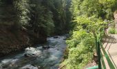
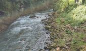
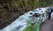
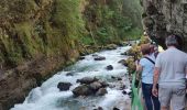
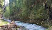
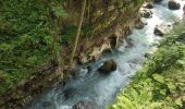
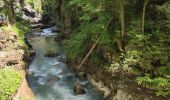
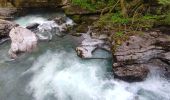
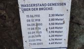
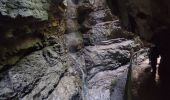
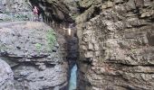
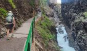
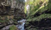
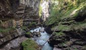
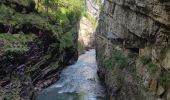
The Breitachklamm is a gorge created by the river Breitach
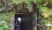
It is one of the deepest gorges of the Bavarian Alps and the deepest rocky gorge of Central Europe. Every year around 300.000 visitors walk the 2.5 km long path through the gorge.
Parking: € 4
Entrance fee: € 7,50 (2024)
Localización
País:
Germany
Región :
Baviera
Departamento/provincia :
Landkreis Oberallgäu
Municipio :
Oberstdorf
Localidad:
Unknown
Salida:(Dec)
Salida:(UTM)
592751 ; 5250595 (32T) N.
Comentarios


 SityTrail


