


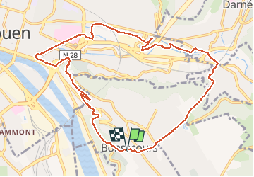


9,8 km | 13,1 km-effort


Usuario


Aplicación GPS de excursión GRATIS
 SityTrail
IGN / Institutos geográficos
SityTrail World
El mundo es suyo
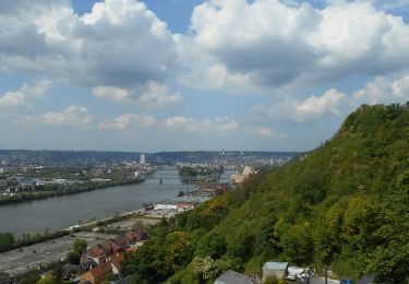
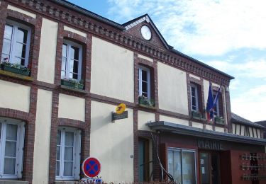
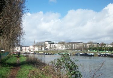
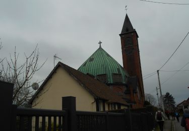
Ruta Senderismo de 11,1 km a descubrir en Normandía, Sena-Marítimo, Bonsecours. Esta ruta ha sido propuesta por doudet.
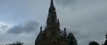
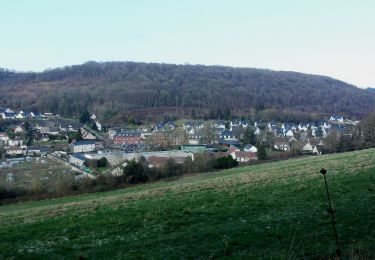
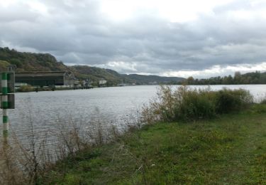
Boucle Bonsecours-Darnetal-Eglise St Paul-Cimetière du Mont Gargan- La Corniche-Chemin du tramway-Bonsecours .


Senderismo

Senderismo

Senderismo
Senderismo
Senderismo
Senderismo
Senderismo
Senderismo
Senderismo