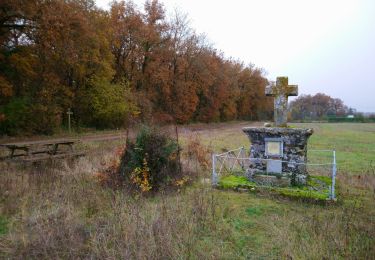
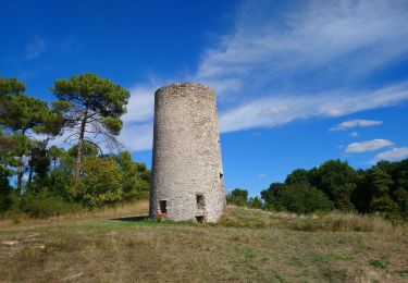
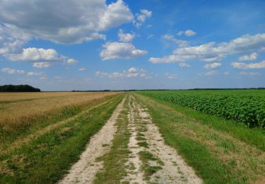
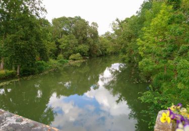
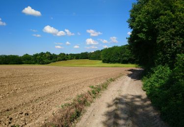
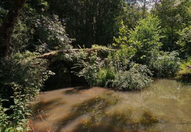
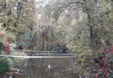
Excursión Senderismo Truyes - Truyes (Gâtacier - Courcay) - Cormery - 2016 07 15 - 220m 17,6km - Photo

Truyes (Gâtacier - Courcay) - Cormery - 2016 07 15 - 220m 17,6km

 Orcal37
Orcal37

Usuario GUIDE

© OpenStreetMap contributors
Longitud
Longitud
17,6 km
Altitud máxima
Altitud máxima
93 m
Desnivel positivo
Desnivel positivo
166 m
Km-Effort
Km-Effort  
19,8 km
Altitud mínima
Altitud mínima
58 m
Desnivel negativo
Desnivel negativo
167 m
Boucle
Boucle
Fecha de creación :
2016-07-15 00:00:00.0
Última modificación :
2020-09-05 15:07:14.619

(0 Opinión)

Senderismo
Senderismo
3h45
Dificultad : Fácil

Escanee este código QR para abrir la excursión en la aplicación SityTrail

Aplicación GPS de excursión GRATIS

Logo SityTrail SityTrail

IGN / Institutos geográficos

Descargar SityTrail en App Store Descargar SityTrail en Google Play

Logo SityTrail SityTrail World

El mundo es suyo

Descargar SityTrail en App Store Descargar SityTrail en Google Play Descargar SityTrail en Huawei AppGallery

A propósito

Ruta Senderismo de 17,6 km a descubrir en Centro, Indre y Loira, Truyes. Esta ruta ha sido propuesta por Orcal37.

Descripción

Truyes - circuit Gâtacier (Courcay) - Cormery - 2016 07 15 - 220m 17,6km

Perfil altimétrico

Fotos

Localización

País:
France
Región :
Centro
Departamento/provincia :
Indre y Loira
Municipio :
Truyes
Localidad:
Unknown
Salida:(Dec)
Salida:(UTM)
337257 ; 5237748 (31T) N.

Excursiones cerca

Excursión Senderismo Truyes - Truyes - La Croix de l'Apothicaresse - 19.9km 125m 4h20 (25mn) - 2021 11 20 - Photo
Senderismo
GUIDE
Orcal37

Senderismo

Fácil
Truyes, Centro, Indre y Loira, France
19,9 km | 22 km-effort
4h 20min
Excursión Senderismo Tauxigny-Saint-Bauld - Malabry - Tauxigny chemin des Moulins - 12.4km 160m 3h00 - 2020 09 07 - Photo
Senderismo
GUIDE
Orcal37

Senderismo

Fácil
Tauxigny-Saint-Bauld, Centro, Indre y Loira, France
12,4 km | 14,6 km-effort
3h 0min
Excursión Senderismo Saint-Branchs - la Fontaine - Saint-Branchs - 14.1km 120m 3h10 - 2020 06 24 - Photo
Senderismo
GUIDE
Orcal37

Senderismo

Fácil
Saint-Branchs, Centro, Indre y Loira, France
14,1 km | 15,7 km-effort
3h 10min
Excursión Senderismo Courçay - Courçay - Reignac-sur-Indre - 14.1km 145m 3h05 - 2020 06 20 - Photo
Senderismo
GUIDE
Orcal37

Senderismo

Fácil
Courçay, Centro, Indre y Loira, France
14,1 km | 16,1 km-effort
3h 5min
Excursión Senderismo Esvres - Esvres - Photo
Senderismo
LEMENIO

Senderismo

Fácil
(2)
Esvres, Centro, Indre y Loira, France
9,3 km | 10,9 km-effort
2h 14min
Excursión Senderismo Cormery - Cormery - Esvres - GR 46 PR 2 - 16km 150m 3h25 - 2020 06 01 - Photo
Senderismo
GUIDE
Orcal37

Senderismo

Fácil
Cormery, Centro, Indre y Loira, France
16 km | 18 km-effort
3h 25min
Excursión Senderismo Truyes - truyes - Photo
Senderismo
jeanjean37

Senderismo

Fácil
(1)
Truyes, Centro, Indre y Loira, France
7,4 km | 8,4 km-effort
1h 34min
Excursión Senderismo Esvres - 2015 10 11 - Esvres-sur-Indre - Photo
Senderismo
GUIDE
Orcal37

Senderismo

Fácil
Esvres, Centro, Indre y Loira, France
18,1 km | 21 km-effort
4h 5min
Excursión Senderismo Cormery - Cormery  - Photo
Senderismo
danaubrac

Senderismo

Fácil
Cormery, Centro, Indre y Loira, France
10,7 km | 12,1 km-effort
2h 35min


Cerrar
Mis suscripciones