


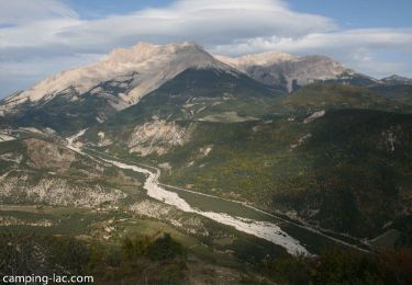
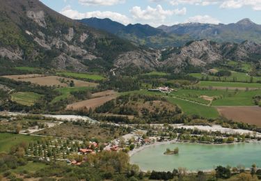
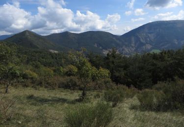
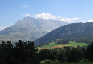
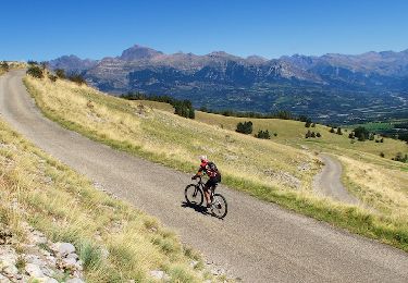
26 km | 41 km-effort

Les Hautes Alpes à découvrir !
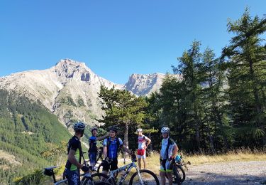
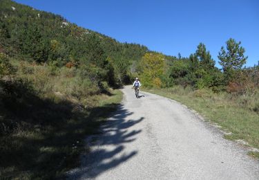
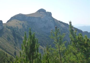
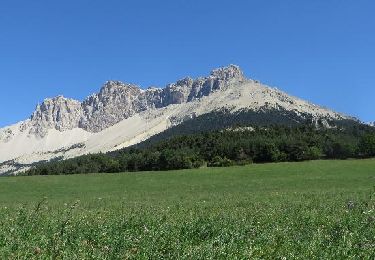
V.T.T.

V.T.T.

V.T.T.

V.T.T.
V.T.T.
V.T.T.
V.T.T.
V.T.T.
V.T.T.
V.T.T.

V.T.T.
V.T.T.

V.T.T.
V.T.T.
V.T.T.
V.T.T.

V.T.T.

V.T.T.
V.T.T.
V.T.T.
V.T.T.