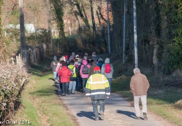
Traversées Percheronnes


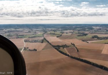
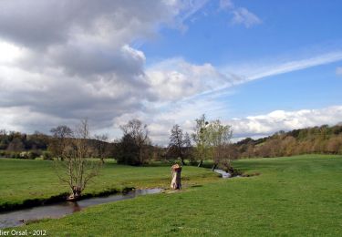
Un maillage d'une centaine de parcours pour composer à la carte sa randonnée itinérante percheronne.

Application GPS de randonnée GRATUITE

Logo SityTrail SityTrail • IGN / Instituts géographiques

Télécharger SityTrail sur l'App Store Télécharger SityTrail sur Google Play

Logo SityTrail SityTrail World • Le monde est à vous

Télécharger SityTrail sur l'App Store Télécharger SityTrail sur Google Play Télécharger SityTrail sur Huawei AppGallery

Actualités


Randonnées

Randonnée Marche Mortagne-au-Perche - La Chapelle-Montligeon - Mortagne-au-Perche 14 km - Photo
Marche

Marche

Difficile
Mortagne-au-Perche, Normandie, Orne, France
14,4 km | 16,1 km-effort
3h 44min
Non
Randonnée Marche Saint-Victor-de-Buthon - Saint-Victor-de-Buthon - Thiron-Gardais 17 km - Photo
Marche

Marche

Très difficile
Saint-Victor-de-Buthon, Centre-Val de Loire, Eure-et-Loir, France
17,7 km | 21 km-effort
4h 34min
Non
Randonnée Marche Nogent-le-Rotrou - Nogent-le-Rotrou - Saint-Victor-de-Buthon 19 km - Photo
Marche

Marche

Très difficile
Nogent-le-Rotrou, Centre-Val de Loire, Eure-et-Loir, France
19 km | 23 km-effort
5h 5min
Non

Points d'intérêt

Point d'intérêt La Gaudaine - La Gaudaine - Photo
Traversées Percheronnes
LA GAUDAINE 
Point d'intérêt Tourouvre au Perche - Tourouvre, au départ de 8 Traversées Percheronnes - Photo
Traversées Percheronnes
TOUROUVRE AU PERCHE 
Point d'intérêt Thiron-Gardais - Thiron-Gardais, au départ de 4 Traversées Percheronnes - Photo
Traversées Percheronnes

 
Fermer
Mes abonnements