


8,1 km | 11,4 km-effort
Bezirk Tamsweg : découvrez les meilleures randonnées : 23 a pied et 1 marche. Tous ces circuits, parcours, itinéraires et activités en plein air sont disponibles dans nos applications SityTrail pour smartphones et tablettes.
A pied


• Randonnée créée par TVB Mauterndorf. Symbole: rot-weiß-rot 39
A pied
• Randonnée créée par TVB Thomatal. Symbole: rot-weiß-rot 69
A pied
• Randonnée créée par TVB Unternberg. Symbole: rot-weiß-rot 87
A pied
• Randonnée créée par TVB Unternberg. Symbole: rot-weiß-rot 86
A pied
• Randonnée créée par TVB Unternberg. Symbole: rot-weiß-rot 85
A pied
• Randonnée créée par TVB Mauterndorf. Symbole: rot-weiß-rot 91
A pied
• Randonnée créée par TVB Mariapfarr. Symbole: rot-weiß-rot 37
A pied
• Randonnée créée par Österreichischer Alpenverein.
A pied
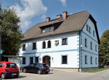
• Randonnée créée par TVB St. Margarethen im Lungau. Symbole: rot-weiß-rot 83
A pied
• Randonnée créée par TVB St. Margarethen im Lungau. Symbole: rot-weiß-rot 83
A pied
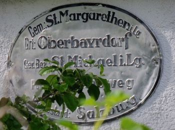
• Randonnée créée par TVB St. Michael im Lungau. Symbole: rot-weiß-rot 91
A pied
• Randonnée créée par TVB St. Michael im Lungau. Symbole: rot-weiß-rot 91
A pied
• Randonnée créée par TVB St. Michael im Lungau. Symbole: rot-weiß-rot 91
A pied
• Randonnée créée par TVB St. Michael im Lungau. Symbole: rot-weiß-rot 91
A pied
• Randonnée créée par TVB St. Michael im Lungau. Symbole: rot-weiß-rot 91
A pied
• Randonnée créée par TVB St. Michael im Lungau. Symbole: rot-weiß-rot 91
A pied
• Randonnée créée par TVB St. Michael im Lungau. Symbole: rot-weiß-rot 91
A pied
• Randonnée créée par TVB St. Michael im Lungau. Symbole: rot-weiß-rot 95
A pied
• Randonnée créée par TVB St. Michael im Lungau. Symbole: rot-weiß-rot 96
A pied
• Randonnée créée par TVB St. Michael im Lungau. Symbole: rot-weiß-rot 92
20 randonnées affichées sur 24
Application GPS de randonnée GRATUITE
 SityTrail
IGN / Instituts géographiques
SityTrail World
Le monde est à vous