


10,9 km | 12,6 km-effort
Liège : découvrez les meilleures randonnées : 1663 a pied, 14016 marche, 844 marche nordique, 583 course à pied et 267 trail. Tous ces circuits, parcours, itinéraires et activités en plein air sont disponibles dans nos applications SityTrail pour smartphones et tablettes.
Marche


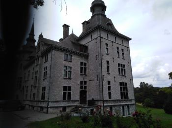
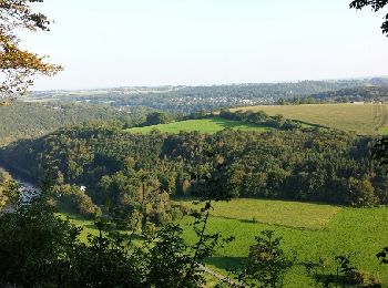
• Belle boucle
Marche
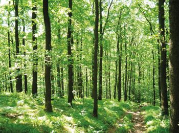
• Au départ de Theux, une magnifique promenade vous emmène au cœur du site Natura 2000 Bois de Staneux. Après avoir lon...

Marche
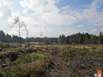
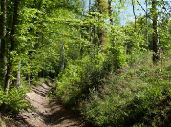
• Cette boucle à l’allure parfois « vosgienne », prenant son départ du Centre Nature de Botrange, vous fera découvrir d...
Marche
• Cette boucle à l’allure parfois « vosgienne », prenant son départ du Centre Nature de Botrange, vous fera découvrir d...
Marche
• Cette boucle à l’allure parfois « vosgienne », prenant son départ du Centre Nature de Botrange, vous fera découvrir d...
Marche
• Randonnée aux multiples facettes où le temps suspend son cours pour aiguiser nos sens à l’utilité de prendre son temp...
Marche
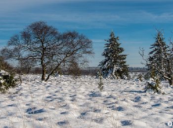
• Cette randonnée prend son départ à Wanne, petit village perché à 480 mètres d’altitude, sur les hauteurs de Trois-Pon...
Marche
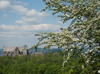
• Au départ de Limbourg, cette randonnée vous invite à découvrir les beaux paysages qui séparent l’ancienne place-forte...
Marche
• Les alentours de Trois-Ponts et de Coo sont essentiellement forestiers. Le relief accentué y met en exergue de nombre...

Marche
• Cette randonnée, entièrement sur le territoire de la commune de Theux, traverse quelques beaux villages de l’entité t...
Marche
• Cette randonnée, entièrement sur le territoire de la commune de Theux, traverse quelques beaux villages de l’entité t...

Marche
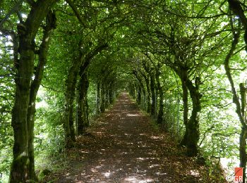
• Au départ de Soiron, village de style mosan, mais surtout l’un des Plus Beaux Villages de Wallonie, cette randonnée v...
Marche
• Au départ de Soiron, village de style mosan, mais surtout l’un des Plus Beaux Villages de Wallonie, cette randonnée v...
Marche
• Le dénivelé de cette boucle sera estompé par le spectacle offert par les nombreux panoramas et autres lieux variés au...
Marche
• Le dénivelé de cette boucle sera estompé par le spectacle offert par les nombreux panoramas et autres lieux variés au...
Marche
• D’abord sur le versant de la rive gauche, la randonnée vous emmènera dans le domaine universitaire du Sart-Tilman où ...
Marche
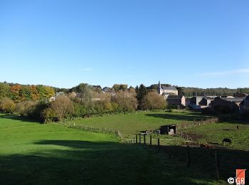
• Entre Ardennes et Condroz, cette randonnée autour de Hamoir offre des environnements variés : champs, bois, prairies,...
Marche
• Cette randonnée au parcours varié prend son départ à Tavier (entité d’Anthisnes) et vous révèlera des paysages condru...
Marche
• Des liaisons balisées entre les hameaux et villages de notre commune vous permettent de découvrir les villages de Rot...
Marche
• 8km de randonnée sportive à la découverte des contreforts escarpés et boisés du Grand Site de la Boucle de l'Ourthe. ...
20 randonnées affichées sur 17246
Application GPS de randonnée GRATUITE
 SityTrail
IGN / Instituts géographiques
SityTrail World
Le monde est à vous