


22 km | 28 km-effort
Namur : découvrez les meilleures randonnées : 1175 a pied, 9641 marche, 587 marche nordique, 424 course à pied et 160 trail. Tous ces circuits, parcours, itinéraires et activités en plein air sont disponibles dans nos applications SityTrail pour smartphones et tablettes.
Marche


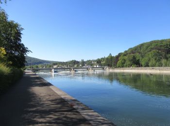
• DE GARE À GARE EN PROVINCE DE NAMUR De Lustin à Namur par les GRP125 et GR126 Lustin – Bois-de-Villers – Namur 22,1 k...
Marche
• Au départ de Oizy, cette randonnée part à la découverte de quelques forêts méconnues comme le bois de Djumai ou celui...
Marche
• Voici un terroir méconnu qui mérite d’être connu ! Le randonneur démarre sur un sentier au naturel pour aller découvr...
Marche
• Il est un domaine sylvestre méconnu entre la barrière des rochers de Marche-les-Dames et, sur le plateau, les vastes ...

Marche
• Il est un domaine sylvestre méconnu entre la barrière des rochers de Marche-les-Dames et, sur le plateau, les vastes ...
Marche
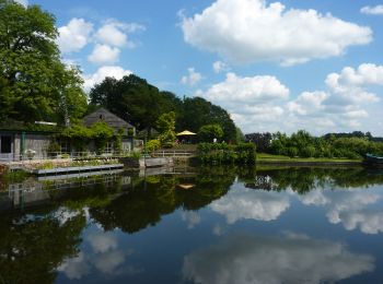
• Cette rando-boucle passe à proximité du domaine provincial de Chevetogne, lieu d’agrément familial. Un petit détour s...
Marche
• Les adeptes des randonnées en boucle des SGR se réjouiront du choix de cette balade dessinée entre Meuse et Lesse. El...
Marche
• Cette randonnée offre de larges panoramas champêtres sur l’Entre-Sambre-et-Meuse de Biesmerée à Ermeton-sur-Biert où ...
Marche
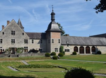
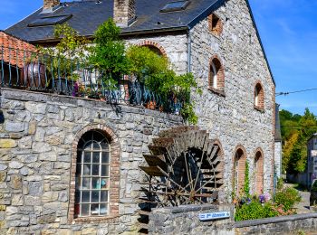
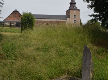
• Randonnée riche d’un patrimoine remarquable : trois châteaux, des jardins à la française, des fermes imposantes, des ...
Marche
• Randonnée riche d’un patrimoine remarquable : trois châteaux, des jardins à la française, des fermes imposantes, des ...
Marche
• La première partie de cette randonnée parcourt des paysages agricoles, autrefois grandes propriétés des seigneurs du ...
Marche
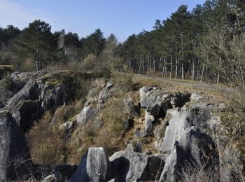
• Cette randonnée assez sportive révèle la beauté d’un site sculpté patiemment depuis des millions d’années par le ruis...

Marche
• Cette randonnée assez sportive révèle la beauté d’un site sculpté patiemment depuis des millions d’années par le ruis...
Marche
• Floreffe, fille de Sambre et de la Haute Marlagne, offre au randonneur un joli départ pour cette boucle sur un territ...
Marche
• Passant des campagnes aux forêts, des villages aux ruisseaux, cette randonnée ne comporte pas de difficulté particuli...
Marche
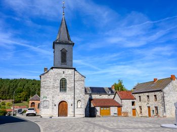
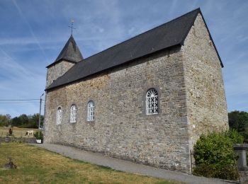
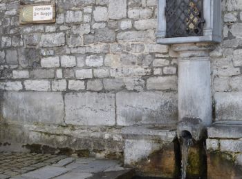
• La place du Chapitre et la collégiale Sainte-Begge ainsi que tout le patrimoine environnant, orgueil de la cité des O...
Marche
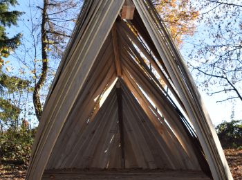
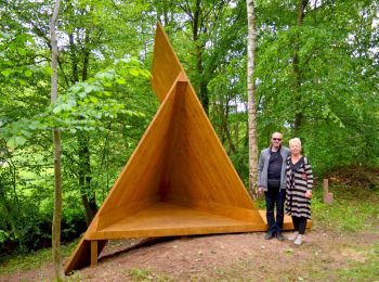
• Découvrez la boucle proposé par l'asbl Vagabond'art lors de la Fête de Mai 2019. Cette partie du Sentiers d'Art vous...
Marche
• Crupet – Spontin – Centre géographique de Wallonie – Spontin – Durnal – Crupet Remarque : Possibilité de raccourci à...
Marche
• Randonnée géologique des grottes de Neptune à la Roche aux Faucons en passant par le Fondry des Chiens.
Marche
• Balisage Rouge La promenade contourne le site Natura 2000 «Forêts et lac de Bambois», d’une superficie de 358 hectare...
20 randonnées affichées sur 11923
Application GPS de randonnée GRATUITE
 SityTrail
IGN / Instituts géographiques
SityTrail World
Le monde est à vous