


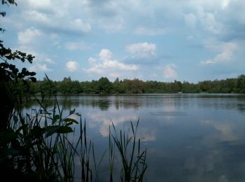
5,5 km | 6,2 km-effort
Houthalen-Helchteren : découvrez les meilleures randonnées : 8 a pied et 11 marche. Tous ces circuits, parcours, itinéraires et activités en plein air sont disponibles dans nos applications SityTrail pour smartphones et tablettes.
A pied


• Symbole: Rode driehoek met pijl
A pied
• Symbole: triangle
A pied
• Symbole: hexagon
A pied
• Randonnée créée par Regionaal Landschap Lage Kempen. Symbole: diamond
A pied
• Randonnée créée par Regionaal Landschap Lage Kempen. Symbole: hexagon
A pied
• Randonnée créée par Regionaal Landschap Lage Kempen. Symbole: dot
A pied
• Randonnée créée par Regionaal Landschap Lage Kempen. Symbole: diamond

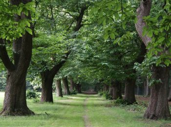
Marche

A pied
• Randonnée créée par Regionaal Landschap Lage Kempen. Symbole: dot
Marche
Marche
Marche
• More information on GPStracks.nl : http://www.gpstracks.nl
Marche
• More information on GPStracks.nl : http://www.gpstracks.nl
Marche
• More information on GPStracks.nl : http://www.gpstracks.nl
Marche
• More information on : http://www.wandelroutes.org
Marche
• More information on : http://www.wandelroutes.org
Marche
Marche
Marche
19 randonnées affichées sur 19
Application GPS de randonnée GRATUITE
 SityTrail
IGN / Instituts géographiques
SityTrail World
Le monde est à vous