


5,2 km | 6 km-effort
Kortenaken : découvrez les meilleures randonnées : 7 marche et 5 a pied. Tous ces circuits, parcours, itinéraires et activités en plein air sont disponibles dans nos applications SityTrail pour smartphones et tablettes.
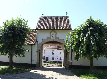
A pied


• Randonnée créée par Toerisme Vlaams-Brabant. Symbole: hexagon
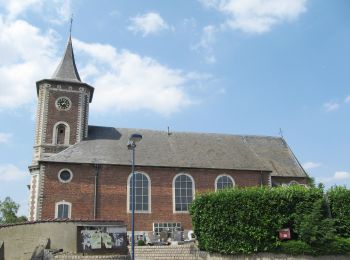
A pied
• Randonnée créée par Toerisme Vlaams-Brabant. Symbole: hexagon
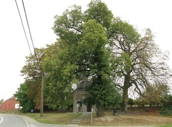
A pied
• Randonnée créée par Toerisme Vlaams-Brabant. Symbole: hexagon
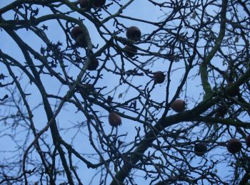
A pied
• Randonnée créée par Toerisme Vlaams-Brabant. Symbole: hexagon

A pied

Marche
• Easy walk through fields and wood
Marche
• More information on : http://www.wandelroutes.org
Marche
Marche
Marche
Marche
Marche
12 randonnées affichées sur 12
Application GPS de randonnée GRATUITE
 SityTrail
IGN / Instituts géographiques
SityTrail World
Le monde est à vous