


13,4 km | 27 km-effort
Allemond : découvrez les meilleures randonnées : 54 marche et 1 course à pied. Tous ces circuits, parcours, itinéraires et activités en plein air sont disponibles dans nos applications SityTrail pour smartphones et tablettes.
Marche


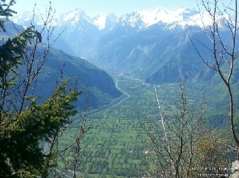
• Agréable randonnée au départ d'Allemond sur un versant moins couru de Belledonne. Sentier agréable qui démarre en for...
Marche
Marche
• Une belle boucle avec des paysages variés. Montée dans une belle foret de feuillus puis parmi les asphodèles en fleur...
Marche
Marche

Marche
Marche
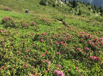
• Myrtille
Marche
Marche
Marche
Marche
Marche
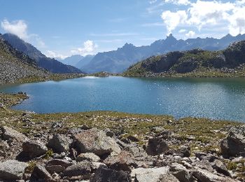
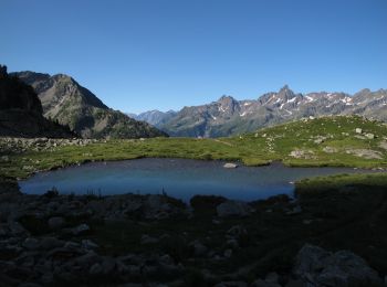
• Du parking de Coteyssart, au-dessus d'Allemond dans la Vallée d'Olle, le Lac de Belledonne offre en automne, une rand...

Marche
• final pas de sentier pente raide pour le lac des boeufs pour le lac de la Balmette , final caillouteux
Marche
• Balade en sous-bois
Marche
Course à pied
Marche
• Pente très raide au début
Marche
• Une petite boucle en passant par dessous le Pas du Pin
Marche
• Le tracé est celui qu'on a fait mais les temps ne sont pas les nôtres. 4h pour monter, 3h30 pour descendre
Marche
20 randonnées affichées sur 55
Application GPS de randonnée GRATUITE
 SityTrail
IGN / Instituts géographiques
SityTrail World
Le monde est à vous