Ingwiller, Bas-Rhin, A pied : Les meilleures randonnées, itinéraires, parcours, balades et promenades

1 commentaires

Ingwiller : découvrez les meilleures randonnées : 1 a pied et 8 marche. Tous ces circuits, parcours, itinéraires et activités en plein air sont disponibles dans nos applications SityTrail pour smartphones et tablettes.


Les meilleurs parcours (9)

Randonnée Marche Ingwiller - boucle Ingwiller /Lichtemberg - Photo
Marche 20.139
Km

Marche

Moyen
Ingwiller, Grand Est, Bas-Rhin, France
20 km | 27 km-effort
5h 9min
545 m
545 m
Oui
LUTZMarc

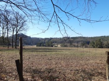
• super rando , terrain sablonneux sentier très agréable avec beau panorama.

Randonnée Marche Ingwiller - Seelberg - Photo
Marche 10.039
Km

Marche

Très facile
(1)
Ingwiller, Grand Est, Bas-Rhin, France
10 km | 13,6 km-effort
3h 41min
271 m
267 m
Oui
fedinois1

• Randonnée facile. A voir : ruines d'une chapelle. Des panneaux explicatifs sur les arbres rencontrés. Stationnement f...

Randonnée Marche Ingwiller - Seelberg Ingwiller Rothbach Lichtenberg  - Photo
Marche 14.833
Km

Marche

Moyen
Ingwiller, Grand Est, Bas-Rhin, France
14,8 km | 21 km-effort
3h 24min
457 m
453 m
Oui
zazie

Randonnée A pied Ingwiller - Rectangle rouge barré de blanc - Photo
A pied 4.562
Km
PRO

A pied

Facile
Ingwiller, Grand Est, Bas-Rhin, France
4,6 km | 6,6 km-effort
1h 29min
179 m
70 m
Non
SityTrail - itinéraires balisés pédestres

• Randonnée créée par Club Vosgien.

Randonnée Marche Ingwiller - 67 Ingwiller - Photo
Marche 54.677
Km

Marche

Moyen
Ingwiller, Grand Est, Bas-Rhin, France
55 km | 70 km-effort
5h 6min
1182 m
1190 m
Non
LUTZMarc

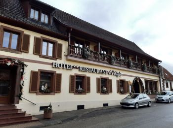
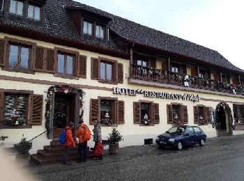
• Boucle forestière. pas très difficile. Très bon resto à Wimenau.

Randonnée Marche Ingwiller - 67 INGWILLER WIMENAU - Photo
Marche 23.171
Km

Marche

Moyen
Ingwiller, Grand Est, Bas-Rhin, France
23 km | 31 km-effort
4h 50min
551 m
549 m
Oui
LUTZMarc

• Depart gare d'Ingwiller

Randonnée Marche Ingwiller - rando alsace jour1 - Photo
Marche 21.435
Km

Marche

Très difficile
Ingwiller, Grand Est, Bas-Rhin, France
21 km | 28 km-effort
6h 25min
515 m
513 m
Oui
bernarddelporte

Randonnée Marche Ingwiller - 48-Lichtenberg-Chateau - Photo
Marche 12.093
Km

Marche

Moyen
Ingwiller, Grand Est, Bas-Rhin, France
12,1 km | 17,8 km-effort
48min
430 m
429 m
Oui
geranimo

Randonnée Marche Ingwiller - Ingwiller - Photo
Marche 17.731
Km

Marche

Difficile
Ingwiller, Grand Est, Bas-Rhin, France
17,7 km | 25 km-effort
3h 54min
573 m
579 m
Non
francoise67

9 randonnées affichées sur 9

Application GPS de randonnée GRATUITE

Logo SityTrail SityTrail

IGN / Instituts géographiques

Télécharger SityTrail sur l'App Store Télécharger SityTrail sur Google Play

Logo SityTrail SityTrail World

Le monde est à vous

Télécharger SityTrail sur l'App Store Télécharger SityTrail sur Google Play Télécharger SityTrail sur Huawei AppGallery

Activités

Fermer
Mes abonnements