Randonnée Marche Ingwiller - 67 Ingwiller - Photo
 LUTZMarc
LUTZMarc

Utilisateur

© OpenStreetMap contributors
Longueur
Longueur
55 km
Altitude max
Altitude max
374 m
Dénivelé positif
Dénivelé positif
1182 m
Km-Effort
Km-Effort  
70 km
Altitude min
Altitude min
153 m
Dénivelé négatif
Dénivelé négatif
1190 m
Boucle
Boucle
Non
Date de création :
2019-12-12 08:22:31.011
Dernière modification :
2020-01-15 15:02:30.448

(0 Avis)

Marche
Marche
5h06
Difficulté : Moyen

Scannez ce code QR pour ouvrir la randonnée dans l'application SityTrail

Application GPS de randonnée GRATUITE

Logo SityTrail SityTrail

IGN / Instituts géographiques

Télécharger SityTrail sur l'App Store Télécharger SityTrail sur Google Play

Logo SityTrail SityTrail World

Le monde est à vous

Télécharger SityTrail sur l'App Store Télécharger SityTrail sur Google Play Télécharger SityTrail sur Huawei AppGallery

À propos

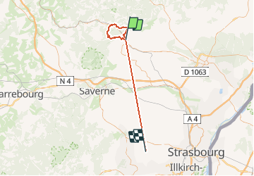
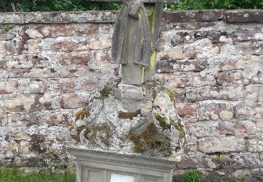
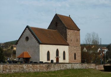
Randonnée Marche de 55 km à découvrir à Grand Est, Bas-Rhin, Ingwiller. Cette randonnée est proposée par LUTZMarc.
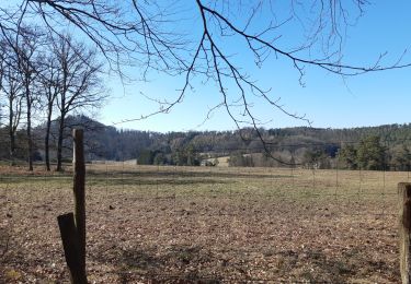
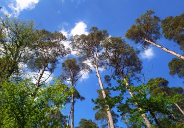
Description

Boucle forestière.
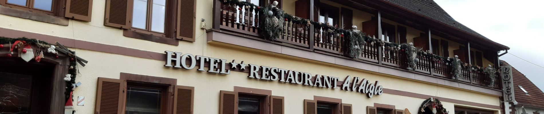
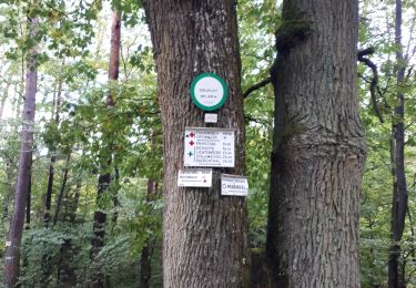
pas très difficile. Très bon resto à Wimenau.

Profil altimétrique

Photos

Localisation

Pays :
France
Région :
Grand Est
Département/Province :
Bas-Rhin
Commune :
Ingwiller
Localité :
Unknown
Départ:(UTM)
388304 ; 5414449 (32U) N.

Randonnées à proximité

Randonnée A pied Wimmenau - Rectangle jaune barré de blanc - Photo
A pied
PRO

A pied

Facile
Wimmenau, Grand Est, Bas-Rhin, France
4,7 km | 6,2 km-effort
1h 24min
Non
Randonnée A pied Weiterswiller - Triangle bleu - Photo
A pied
PRO

A pied

Facile
Weiterswiller, Grand Est, Bas-Rhin, France
11,6 km | 17,3 km-effort
3h 56min
Non
Randonnée A pied Weiterswiller - Triangle jaune - Photo
A pied
PRO

A pied

Facile
Weiterswiller, Grand Est, Bas-Rhin, France
14,6 km | 19,2 km-effort
4h 22min
Non
Randonnée A pied Sparsbach - Chevalet rouge - Photo
A pied
PRO

A pied

Facile
Sparsbach, Grand Est, Bas-Rhin, France
3,2 km | 5,1 km-effort
1h 9min
Non
Randonnée A pied Wimmenau - Triangle vert - Photo
A pied
PRO

A pied

Facile
Wimmenau, Grand Est, Bas-Rhin, France
10,4 km | 15,6 km-effort
3h 33min
Non
Randonnée Marche Ingwiller - boucle Ingwiller /Lichtemberg - Photo
Marche
LUTZMarc

Marche

Moyen
Ingwiller, Grand Est, Bas-Rhin, France
20 km | 27 km-effort
5h 9min
Oui
Randonnée Marche Offwiller - Offwiller - Photo
Marche
oscar1

Marche

Facile
Offwiller, Grand Est, Bas-Rhin, France
14,7 km | 20 km-effort
3h 41min
Oui
Randonnée Randonnée équestre Rothbach - BOUCLE ROTHBACH VERS COL DE STEIGE - RIVIERE VERS ROTHBACH - Photo
Randonnée équestre
depoucquesElisabeth

Randonnée équestre

Moyen
(2)
Rothbach, Grand Est, Bas-Rhin, France
16,8 km | 24 km-effort
2h 56min
Oui
Randonnée Marche Sparsbach - Boucle Sparsbach Englishberg - Photo
Marche
zazie

Marche

Facile
Sparsbach, Grand Est, Bas-Rhin, France
6 km | 8,4 km-effort
1h 10min
Oui


Fermer
Mes abonnements