


10,3 km | 15,1 km-effort
Montpeyroux : découvrez les meilleures randonnées : 3 a pied, 80 marche, 2 marche nordique et 1 trail. Tous ces circuits, parcours, itinéraires et activités en plein air sont disponibles dans nos applications SityTrail pour smartphones et tablettes.
Marche


• Magnifique ..

Marche
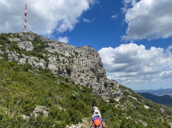
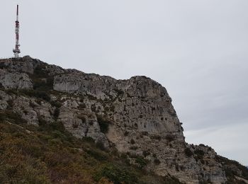
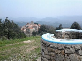
• départ "Font de Griffe" et passage par relais Tv
Marche
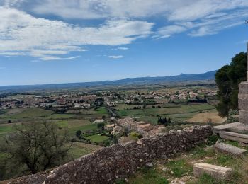
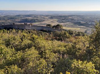
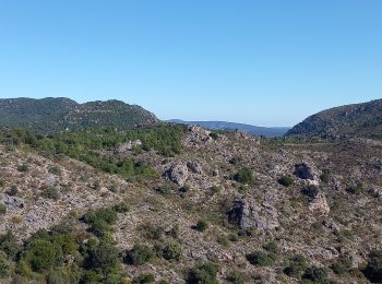
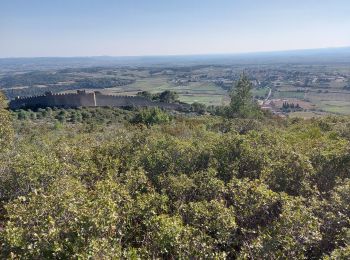
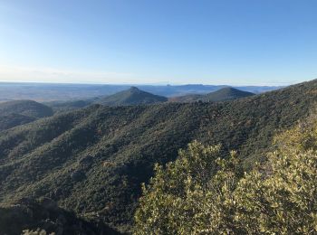
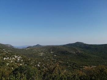
• Superbe point de vue
Marche
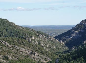
• rando agréable (ecourtée) beaux sites à voir absolument
Marche
• randonnée : dificulté myenne
Marche
• Depuis le pont à l'entrée d'Arboras.
Marche nordique
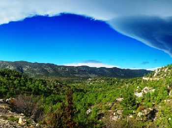
• Après une longue période de pluie intense, comment marcher au sec et s'élever au dessus des nuages ? Le Mont Saint-Ba...
Marche
• Belle petite rando bien balisée.. 11kms top
Marche
Marche
• belle rando belles vues terrains des sentiers differents les uns des autres
Marche
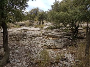
• Depuis la petite aire de stationnement à La Font du Griffe, le sentier bien balisé (en jaune, mais aussi rouge/blanc ...
Marche
• Depuis la petite aire de stationnement à La Font du Griffe, le sentier bien balisé (en jaune, mais aussi rouge/blanc ...
Marche
• Très sympa.
Marche
• Superbe rando facile
Marche
• Belle marche, facile, beau paysages
Marche
• Boucle sympa

Marche
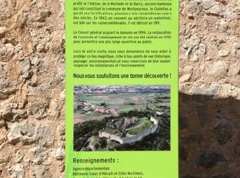
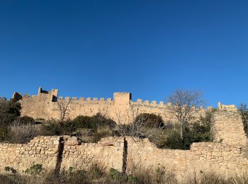
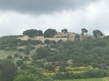
• Visite du Castelas puis circuit en balcon par le GR. Maison des légendes des Plos

Marche
Marche
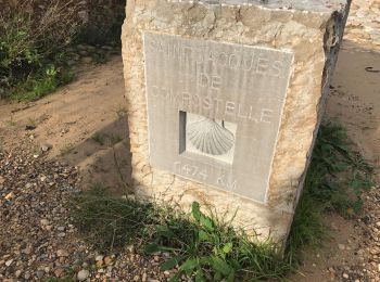
• St Jacques
Marche
• Grande Traversée de l'Hérault à VTT - de La Font du Griffe à La Vernède. Itinéraire officiel s'appuyant sur le Réseau...
20 randonnées affichées sur 84
Application GPS de randonnée GRATUITE
 SityTrail
IGN / Instituts géographiques
SityTrail World
Le monde est à vous