


7,3 km | 8,3 km-effort
Ayguesvives : découvrez les meilleures randonnées : 11 marche et 1 course à pied. Tous ces circuits, parcours, itinéraires et activités en plein air sont disponibles dans nos applications SityTrail pour smartphones et tablettes.
Marche


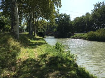
• A partir de l’écluse de Auguesvives, le canal du midi:6919
Marche
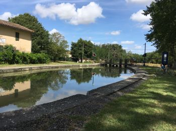
• Écluses Aiguesvives Gardouch
Marche
• D’autres informations et photos sont disponibles ICI Balade inspirée par le site « Les Balades et Randonnées de Fred »
Course à pied
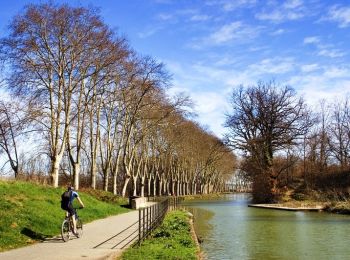
• Balade entre côteaux et Canal du Midi. Roller possible le long du Canal.

Marche
• Balade entre côteaux et Canal du Midi. Roller possible le long du Canal.

Marche
Marche
Marche
Marche
Marche
Marche
Marche
12 randonnées affichées sur 12
Application GPS de randonnée GRATUITE
 SityTrail
IGN / Instituts géographiques
SityTrail World
Le monde est à vous