


9,4 km | 11,2 km-effort
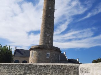
Bangor : découvrez les meilleures randonnées : 3 a pied, 87 marche, 2 marche nordique et 1 course à pied. Tous ces circuits, parcours, itinéraires et activités en plein air sont disponibles dans nos applications SityTrail pour smartphones et tablettes.
Marche


Marche
Marche
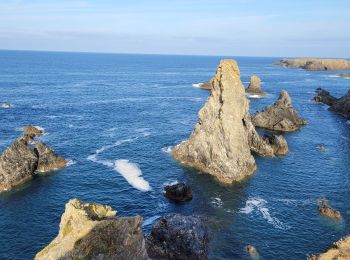
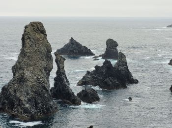
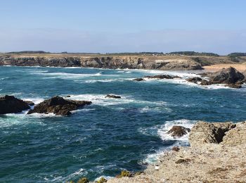
• Départ du Palais par le bus jusqu'à Port Coton et retour en bus de l'Apothicairerie jusqu'au Palais.
Marche
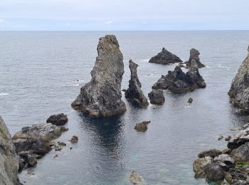
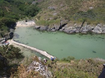
• Départ du Palais par le bus jusqu'à Port Coton et retour en bus de Locmaria au Palais. Côte sauvage très découpée à P...
Marche
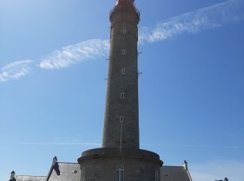
• par Goulphare
A pied
Marche
Marche
Marche nordique
Marche
Marche
Marche
• 😎
Marche
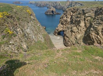
• sentier côtier belle-île-en-mer
Marche
Marche
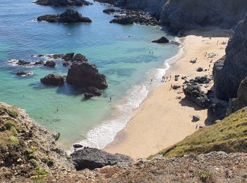
• De Kerel à Goulphare par le sentier cotier
Marche
• De Yeyew à Grand Vilage
Marche
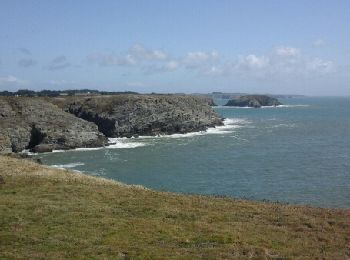
• Le lon du sentier côtier
Marche
Marche
Marche
20 randonnées affichées sur 93
Application GPS de randonnée GRATUITE
 SityTrail
IGN / Instituts géographiques
SityTrail World
Le monde est à vous