


7,1 km | 8,6 km-effort
Saint-Cyr-la-Rosière : découvrez les meilleures randonnées : 16 marche et 1 marche nordique. Tous ces circuits, parcours, itinéraires et activités en plein air sont disponibles dans nos applications SityTrail pour smartphones et tablettes.
Marche


• Circuit balisé et jaune + signalétique (suivre les flèches "Au fil de la Rosière") Départ : Sainte-Gauburge de la Co...
Marche
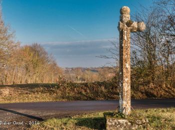
• Circuit balisé en jaune + signalétique (suivre les flèches "La croix de Lognonnet") Pas à pas : Longueur: 9 km Duré...
Marche
• LES TRAVERSÉES PERCHERONNES.. Vous offrent la description de près de 1700 kilomètres de chemins de randonnée perche...
Marche
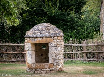
• Circuit balisé en jaune + signalétique (suivre les flèches "La pierre procureuse") Départ / Arrivée : St-Cyr-La-Rosi...

Marche
Marche
• Petite randonnée avec traversée d’un ru
Marche
• Parcours facile et court au départ de l'écomusée du Perche. Passe par le très beau manoir de l'Angenardière et celui ...
Marche
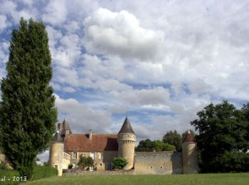
• De très beaux manoirs et demeures à admirer au cours de cette randonnée. A l'arrivée, vous pouvez en profiter pour v...
Marche
• De très beaux manoirs et demeures à admirer au cours de cette randonnée. A l'arrivée, vous pouvez en profiter pour v...
Marche
• De très beaux manoirs et demeures à admirer au cours de cette randonnée. A l'arrivée, vous pouvez en profiter pour v...
Marche
• De très beaux manoirs et demeures à admirer au cours de cette randonnée. A l'arrivée, vous pouvez en profiter pour v...
Marche

Marche nordique
Marche
Marche
Marche
Marche
17 randonnées affichées sur 17
Application GPS de randonnée GRATUITE
 SityTrail
IGN / Instituts géographiques
SityTrail World
Le monde est à vous